
Country United States Elevation 925 ft (282 m) Zip code 24179 Local time Monday 4:24 PM | Founded 1884 Time zone Eastern (EST) (UTC-5) Population 8,151 (2013) Mayor Bradley E. Grose | |
 | ||
Weather 12°C, Wind E at 8 km/h, 100% Humidity | ||
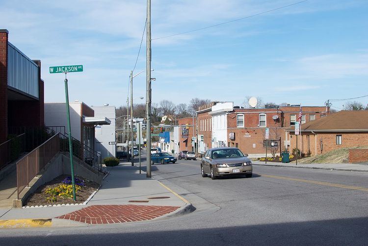
Vinton is a town in Roanoke County, Virginia, United States. The population was 8,098 at the 2010 census. Vinton is part of the Roanoke Metropolitan Statistical Area and the Roanoke Region of Virginia.
Contents
Map of Vinton, VA 24179, USA
The town shares a substantial portion of its western border with the neighboring city of Roanoke. Several neighborhoods in this area are bisected by the border between the two communities. Vinton also serves as a bedroom community for Roanoke proper.
Geography
Vinton is located at 37°16′41″N 79°53′43″W (37.277987, -79.895248).
According to the United States Census Bureau, the town has a total area of 3.16 square miles (8.2 km²).
The southern border of Vinton consists of 1.5 miles (2.4 km) of lakefront in the Roanoke River Gorge. This lake, however, which was created by the 1904 construction of the hydroelectric Niagara (so-called) dam, is not visible from any inhabited part of the town, is difficult to reach, and is little used.
Vinton has varied topography, considering its 3.2 square mile size. The above-mentioned lake is at an elevation of 890 feet (270 m) above sea level. The Vinton side of the lake consists of a steep, wooded cliff 150 feet (46 m) in vertical height. Vinton's highest point is on Olney Road, at an elevation of 1,265 feet (386 m), which affords a good view of the adjacent city of Roanoke.
While the entirety of the town of Vinton is located in Roanoke County, much of its ZIP code also covers the western portion of Bedford County.
Demographics
As of the census of 2010, there were 8,092 people, 3,774 housing units, and 3,547 households in the town. The median income for a household in the town was $44,667.
Media
Vinton's official newspaper is the Vinton Messenger.