
Country Philippines Founded 1982 Area 63 km² | Province Zamboanga del Sur Time zone PST (UTC+8) Local time Tuesday 2:24 AM Dialing code +63 (0)62 | |
 | ||
Region Zamboanga Peninsula (Region IX) District 2nd district of Zamboanga del Sur Weather 26°C, Wind N at 8 km/h, 85% Humidity | ||
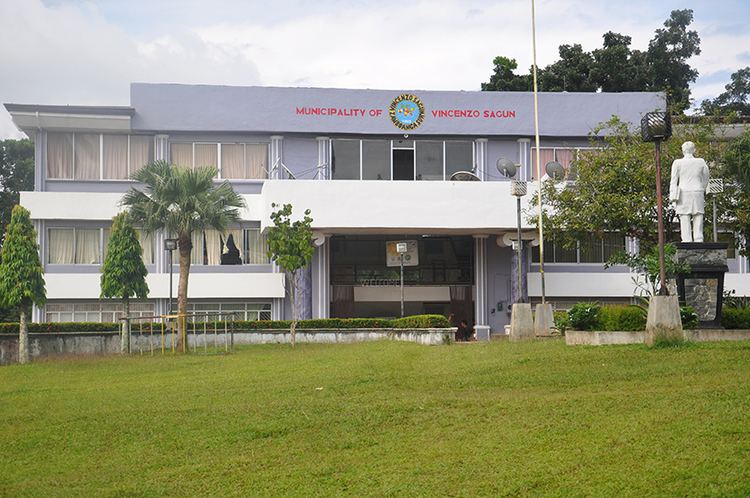
Vincenzo A. Sagun is a fifth-class municipality in the province of Zamboanga del Sur, Philippines. According to the 2015 census, it has a population of 23,759 people. The municipality is named after Zamboanga del Sur Governor and Representative Vincenzo Sagun.
Contents
- Map of Vincenzo A Sagun Zamboanga del Sur Philippines
- Geography
- History
- Barangays
- Religion
- College
- High schools
- Elementary schools
- References
Map of Vincenzo A. Sagun, Zamboanga del Sur, Philippines
Geography
Vicenzo A. Sagun is a coastal municipality that is found in the southern section of Zamboanga del Sur. It is in the Baganian Peninsula, some 60 kilometers northwest of the province’s capital of Pagadian City. As for its boundaries, the municipality of Margosatubig can be found on the north, while the south is occupied by Maligay Bay and Dumanquilas Bay, on the southeast and the southwest, respectively. The municipality of Dimataling cradles it on the east. The total area of Vincenzo A. Sagun makes up 8.15% of Zamboanga del Sur’s area, and .041% of the whole Zamboanga Peninsula Region.
Of the 14 barangays that Vincenzo Sagun has, 11 of them are coastal, and most of the inhabitants are fisherfolk by trade and livelihood. The municipality is noted for its rich marine resources, with some parts being groomed to be prime tourist aquatic spot. One of the Vincenzo Sagun’s featured products are the dried fish which are usually exported to the other provinces.
History
There are no known historical records that can establish as to when the municipality started to exist as a community. What is known is that the municipality of Vincenzo Sagun as he is known today, was a product of the extraordinary efforts of a man bearing the same name.
The man VINCENZO A. SAGUN was a former member of the House of Representatives, representing the Province of Zamboanga del Sur, who left "no stones unturned" in seeking the formal creation of this erstwhile barangay of its mother Municipality, Margosatubig. Thru this tireless endeavor, President Diosdado Macapagal signed Presidential Proclamation No. 177, series of 1965, which created the MUNICIPALITY OF VINCENZO SAGUN.
In utmost recognition of the man whose efforts made it all possible for the municipality to exist as a distinct and separate local governing entity, the municipality was so named in his honor.
Folklore tell us that the municipality's first inhabitants were the Subanons. They were to have established their settlements along the riverbanks and in the hinterlands as a very peaceful and highly coordinated tribe ruled by a powerful warrior-leader. Legend has it that this warrior-leader, called Culangan, possessed magical powers and is capable of superhuman strength-like jumping as high as seven feet with a 50-kilogram pig on his shoulders.
These early settlers lived in a scattered, pocket-sized settlements. But to celebrate the "LOMPOK", a local religious rite, they congregate in a certain place they called "PAGBATAN". For quite some time the place was called as such, until it was changed to "KABATAN", meaning "the inhabitants". In fact, when Vincenzo Sagun was still part of Margosatubig, it was known as Barangay Kabatan.
Barangays
Vincenzo A. Sagun is politically subdivided into 14 barangays.