
Canton Aubigny-en-Artois Local time Monday 5:58 PM | Area 247 ha | |
 | ||
Intercommunality Communauté de communes de l'Atrébatie Weather 17°C, Wind W at 11 km/h, 55% Humidity | ||
Villers-Sir-Simon is a commune in the Pas-de-Calais department in the Hauts-de-France region of France.
Contents
Map of 62127 Villers-Sir-Simon, France
Geography
Villers-Sir-Simon is situated some 18 miles (29.0 km) west of Arras, at the junction of the D77 and D54 roads.
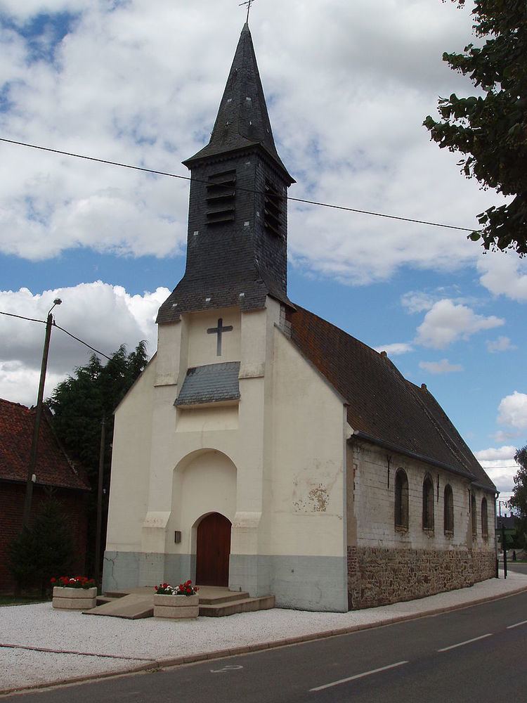
Places of interest
References
Villers-Sir-Simon Wikipedia(Text) CC BY-SA