
Canton Aubigny-en-Artois Local time Monday 5:54 PM | Area 3.81 km² Population 300 (1999) | |
 | ||
Intercommunality Communauté de communes de l'Atrébatie Weather 17°C, Wind W at 10 km/h, 52% Humidity | ||
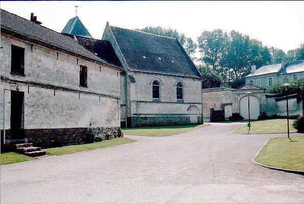
Villers-Brûlin is a commune in the Pas-de-Calais department in the Hauts-de-France region of France.
Contents
Map of 62690 Villers-Br%C3%BBlin, France
Geography
Villers-Brûlin lies 15 miles (24.1 km) northwest of Arras, at the junction of the D76 and D77E1 roads.
Places of interest
References
Villers-Brûlin Wikipedia(Text) CC BY-SA