Comarca Eo-Navia Highest elevation 1,221 m (4,006 ft) Area 132.5 km² Population 1,393 (2014) | Capital Villayón Time zone CET (UTC+1) Local time Monday 5:08 PM Province Asturias | |
 | ||
Weather 18°C, Wind N at 10 km/h, 56% Humidity | ||
Villayón ([bi.ʎa.ˈʝon]) is a municipality in the Autonomous Community of the Principality of Asturias, Spain. It is bordered on the north by Navia, on the west by Coaña, Boal and Illano, on the east by Valdés, Tineo y Allande and on the south by Allande.
Contents
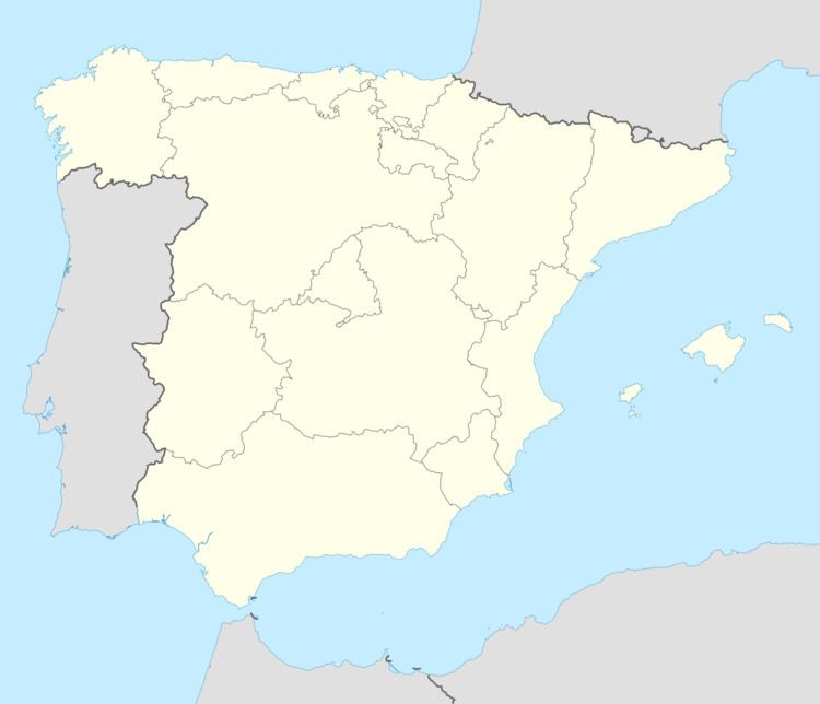
Map of 33717 Villay%C3%B3n, Asturias, Spain
History
Some prehistoric Hill Forts and Dolmen are still visitable in the municipality's territory. The Romans built some bridges here which are used today.
During the Middle Ages, Villayón belonged to Navia, Asturias. The parish split off and became autonomous in 1868.
Geography
The Río Navia passes through the municipality. The waterfalls in Oneta (Cascada de Oneta) are the highest in Asturias.
Population
Parishes
The municipality contains six parishes:
References
Villayón Wikipedia(Text) CC BY-SA
