
Area 20.29 km² Madrid district number 17 Population 126,802 | Municipality Madrid | |
 | ||
Estudio photovoice sobre la alimentaci n en villaverde madrid
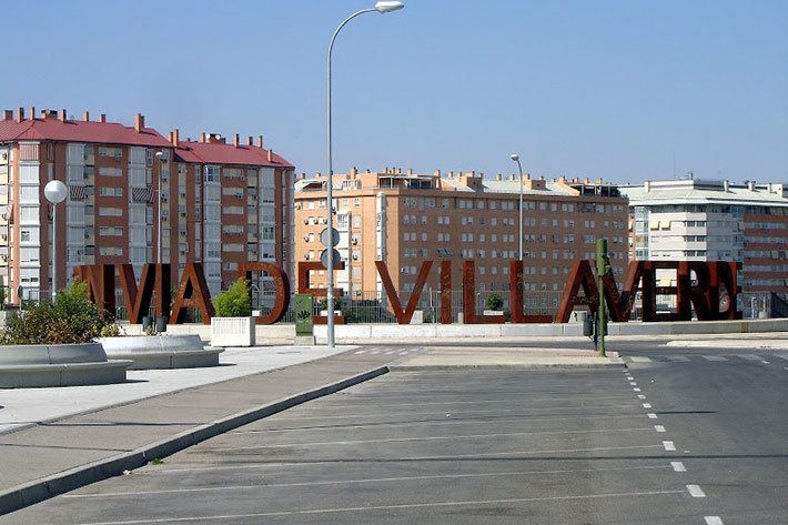
Villaverde is one of the 21 districts of the city of Madrid, Spain.
Contents
- Estudio photovoice sobre la alimentaci n en villaverde madrid
- Map of Villaverde Madrid Spain
- Geography and history
- References
Map of Villaverde, Madrid, Spain
Geography and history
The municipality was absorbed by Madrid in the 1950s as a result of the plans that the Franco government made to simplify the structure of big city administrations. Since then, is a district. It was in those years when it experimented a massive growth caused by the rural flight in Spain. This is the reason that made Villaverde a typical working class neighbourhood.
This condition leaves a heavy footprint in the district, because it has conditioned the current population composition, with many retired people (some of them returning to their towns in Andalusia, Castile-León, ...) and immigrants attracted by the housing cheap prices.
The district is administratively divided into five wards (barrios):