
Country Argentina Founded November 20, 1823 CPA base E3240 Elevation 40 m Number of airports 1 | Department Villaguay Time zone ART (UTC-3) Dialing code +54 3455 Population 34,730 (2012) Local time Monday 10:46 AM | |
 | ||
Weather 22°C, Wind SE at 8 km/h, 80% Humidity | ||
Enduro en villaguay 2014
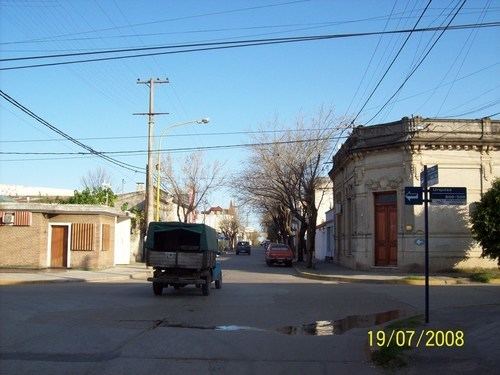
Villaguay is a city in the province of Entre Ríos in the Argentine Mesopotamia. It has about 48,000 inhabitants as of the census 2010 and is the head town of the department of the same name.
Contents
Map of Villaguay, Entre Rios, Argentina
The city lies near the geographic center of the province, east of the Gualeguay River, on National Route 18 (which links it to Paraná, the provincial capital, located 155 km to the west, and to Concordia, 120 km east). The area is serviced by an airport (IATA: ?, ICAO: SAAU) at 31°51′S 59°5′W.
The earliest records of European settlement date to 1790. In the nineteenth century, Spanish, Jewish, French, Italian, Volga German, and Belgian communities were established in the area. In 1873, Villaguay, previously administered by military commanders, became a municipality.