
Seat Villacarriedo Postal code 39640 Area 50.74 km² | Time zone CET (UTC+1) Elevation 211 m | |
 | ||
Website Ayunt. de Villacarriedo | ||
Villacarriedo is a municipality in the Spanish "comunidad autónoma" of Cantabria.
Contents
Map of 39640 Villacarriedo, Cantabria, Spain
Sub-districts and demography
In 2009 the municipality contained 1,765 registered inhabitants divided between the various villages and hamlets as follows:
Location
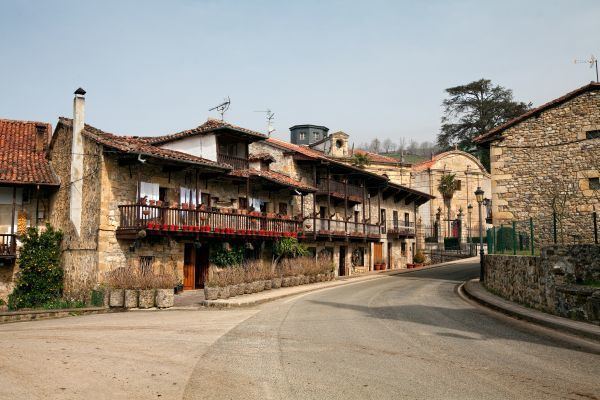
Villacarriedo, the administrative centre and the most populous village in the municipality, is positioned 211 meters above sea level and 36 km (22 miles) to the south of Santander, the Cantabrian capital.
Economy
36.9% of the working population are recorded as working in the primary (agricultural) sector. 15.1% work in construction and 10.8% in industry while a further 37.2% work in the tertiary (service) sector.
References
Villacarriedo Wikipedia(Text) CC BY-SA