
Country Italy Elevation 13 m (43 ft) Time zone CET (UTC+1) Local time Monday 2:09 PM Dialling code 0386 | Frazioni Ghisione Demonym(s) Villapomesi Area 14.3 km² Postal code 46020 | |
 | ||
Weather 22°C, Wind W at 16 km/h, 42% Humidity | ||
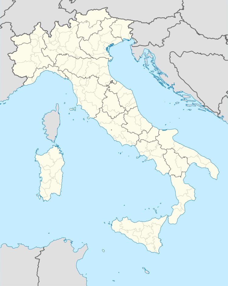
Villa Poma is a comune (municipality) in the Province of Mantua in the Italian region Lombardy, located about 160 kilometres (99 mi) southeast of Milan and about 30 kilometres (19 mi) southeast of Mantua. As of 31 December 2004, it had a population of 2,057 and an area of 14.3 square kilometres (5.5 sq mi).
Map of 46020 Villa Poma Province of Mantua, Italy
The municipality of Villa Poma contains the frazione (subdivision) Ghisione.
Villa Poma borders the following municipalities: Magnacavallo, Pieve di Coriano, Poggio Rusco, Revere, San Giovanni del Dosso, Schivenoglia.
References
Villa Poma Wikipedia(Text) CC BY-SA