
Vehicle registration TN-32 Elevation 44 m Local time Monday 2:41 PM | Time zone IST (UTC+5:30) Area 12.22 km² Population 10,449 (2001) | |
 | ||
Weather 38°C, Wind SE at 10 km/h, 35% Humidity | ||
Vikravandi is a town in Viluppuram district in the Indian state of Tamil Nadu.
Contents
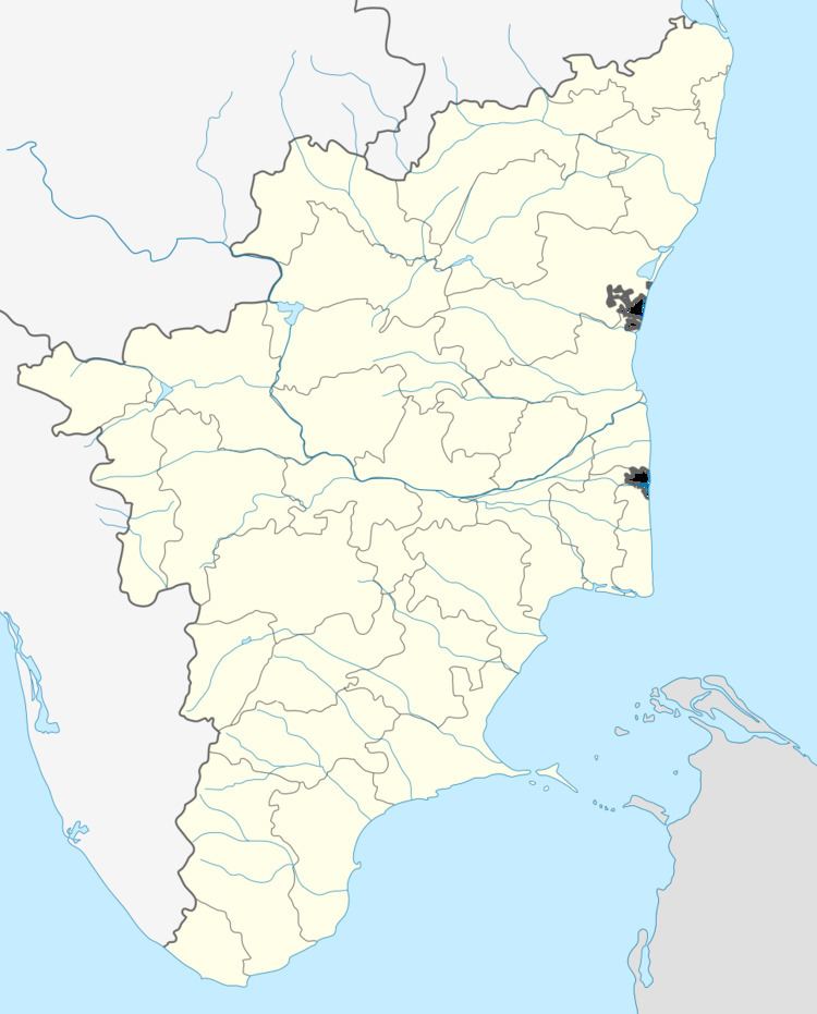
- Map of Vikravandi Tamil Nadu 605652
- Geography
- Demographics
- Places of worship
- Colleges around Vikravandi
- Development
- Education
- References
Map of Vikravandi, Tamil Nadu 605652
Geography
Vikravandi is located at 12.03°N 79.55°E / 12.03; 79.55. It has an average elevation of 44 metres (144 feet). It lies along the Chennai - Trichy National Highway 45.
Demographics
As of 2001 India census, Vikravandi had a population of 10,141. Males constitute 52% of the population and females 48%. Vikravandi has an average literacy rate of 74%, higher than the national average of 59.5%: male literacy is 81%, and female literacy is 66%. In Vikravandi, 10% of the population is under 6 years of age.
Places of worship
Colleges around Vikravandi
Development
In the 2000s Vikravandi was one of the panchayat in the district of Villupuram. Vikravandi's economy was very poor at the time. The two third of the vikravandi was built by huts. Many people migrated from Vikravandi other cities in Tamil Nadu. But within 12 years it was announced as one of the taluka in Viluppuram district and one of the constitutional assembly in Tamil Nadu. More than 60 villages were under the constitution of Vikravandi. Even some villages got their initial as vikravandi. Now, It has been well developed taluk in villupuram district, still it needs more facilities like fire stations, etc. From old days to now, vikravandi is very famous for Rice production.
Education
Many students from the Vikravandi study in nearby schools and colleges. Others go to Chennai for their higher studies. Govt High School, Govt Girls School, Minerva School, Saint Mary's Higher Sec. School, Surya Engineering College, Abdul Gafoor ITI are located in Vikravandi.