
District Bangalore Rural Vehicle registration KA Elevation 883 m Local time Monday 1:50 PM | Time zone IST (UTC+5:30) Website karnataka.gov.in Population 34,866 (2011) ISO 3166 code ISO 3166-2:IN | |
 | ||
Weather 34°C, Wind S at 10 km/h, 31% Humidity Neighborhoods Gandi Chouka, Ward Number 22, Chennarayappa Layout, Shidlaghatta Cross, Indiranagar | ||
Vijayapura is a town in Bangalore Rural district in the Indian state of Karnataka. Vijayapura's old name is Vadigenahalli. Local villagers still refer Vijayapura as Vadigenahalli.
Contents
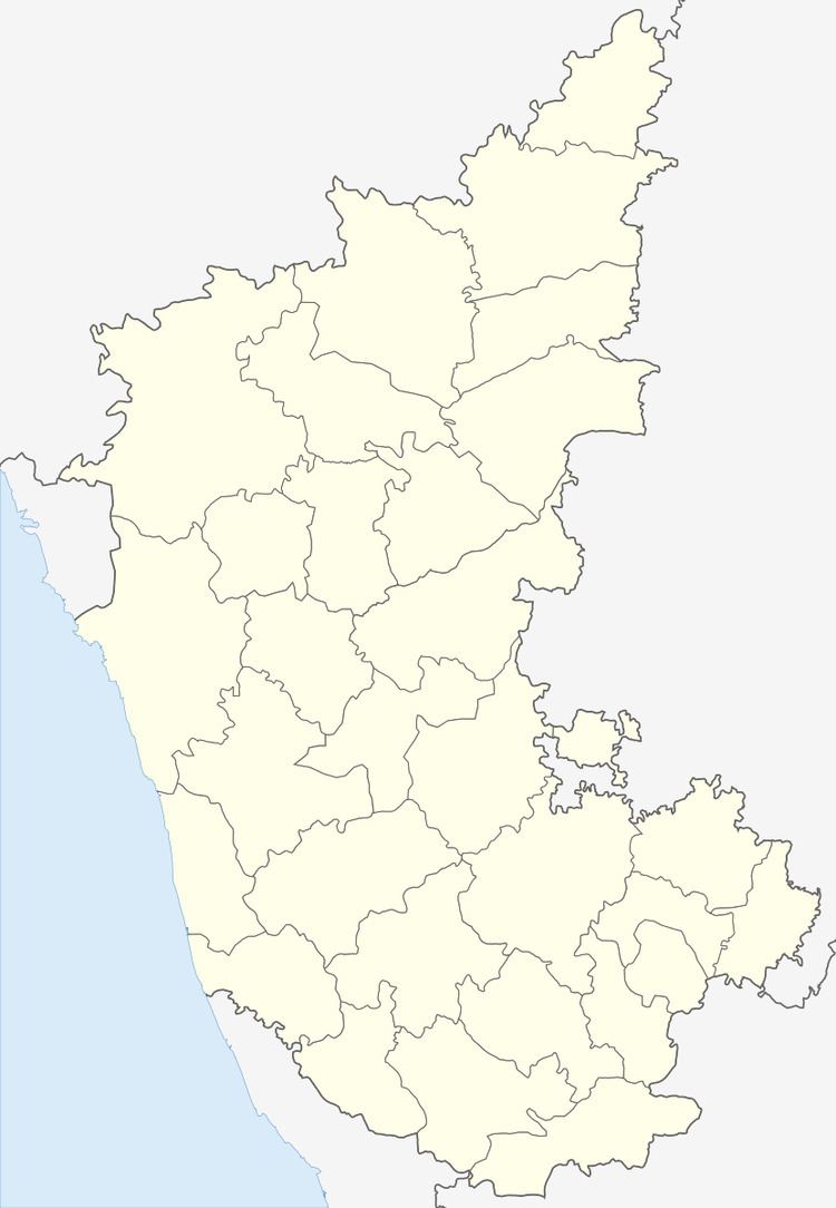
Map of Vijayapura, Karnataka
Geography
Vijayapura is located at 13.29°N 77.8°E / 13.29; 77.8. It has an average elevation of 883 metres (2896 feet).
Demographics
As of 2001 India census, Vijayapura had a population of 29,458. Males constitute 52% of the population and females 48%. Vijayapura has an average literacy rate of 64%, higher than the national average of 59.5%: male literacy is 69%, and female literacy is 59%. In Vijayapura, 13% of the population is under 6 years of age.
Vijayapur was formerly known as Vadagenhalli, a corrupt form of veda-gaana-halli .
References
Vijayapura Wikipedia(Text) CC BY-SA