
Max. width 15 km (9.3 mi) Area 1,088 km² Width 15 km | Max. length 80 km (50 mi) Surface elevation 250 m Length 80 km | |
 | ||
Surface area ca. 1,088 km (420 sq mi) Province Santa Cruz Province, Argentina | ||
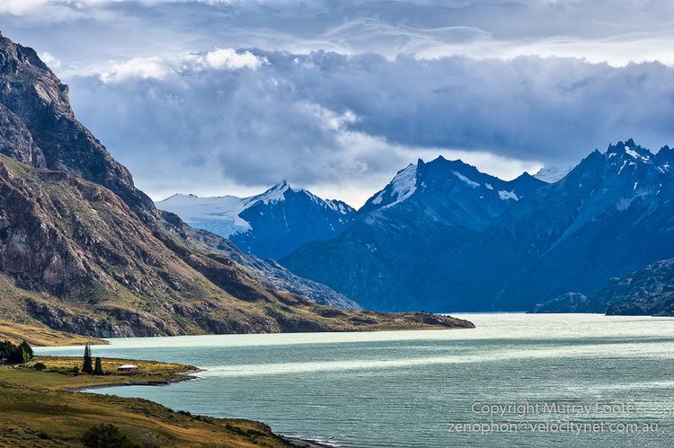
Viedma Lake (Spanish: Lago Viedma, [laɣo ˈβjeðma]), approximately 50 miles (80 kilometers) long in southern Patagonia near the border between Chile and Argentina. It's a major elongated trough lake formed from melting glacial ice.
Map of Viedma Lake, Santa Cruz Province, Argentina
The name of the lake comes from the Spanish explorer Antonio de Viedma, who in 1783 reached its shores, being the first European to do so.
The town of El Chaltén and the Andes peaks Cerro Torre and Fitz-Roy lie in the proximity of Lake Viedma.
Lake Viedma is fed primarily by the Viedma Glacier at its western end. The Viedma Glacier measures 3 miles (5 kilometers) wide at its terminus at Lake Viedma. The brown landscape is a result of ice scouring, which left virtually no vegetation on the steep-walled valleys.
Water from lake Viedma flows into Lake Argentino through the La Leona River, and eventually from there into the Atlantic Ocean through the Santa Cruz River.
Although most of the lake lies in Argentine territory, the western shores of the lake reach the Southern Patagonian Ice Field in an area where the border remains undefined.