
 | ||
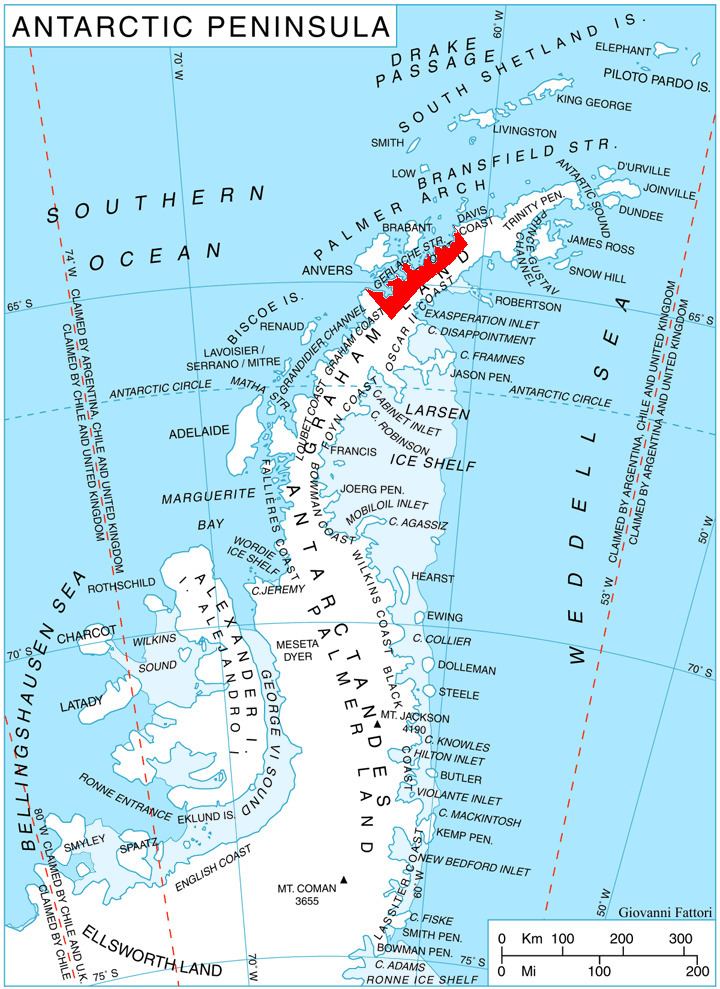
Vidbol Glacier (Bulgarian: ледник Видбол, ‘Lednik Vidbol’ \'led-nik 'vid-bol) is the 5.5 km long and 1.5 km wide glacier on Arctowski Peninsula on Danco Coast in Graham Land on the Antarctic Peninsula draining the north slopes of Pulfrich Peak. Flowing northwestwards west of Henryk Peak and east of Mount Dedo to enter Gerlache Strait at Orne Harbour.
Contents
Map of Vidbol Glacier, Antarctica
The glacier is named after Vidbol River in northwestern Bulgaria.
Location
Vidbol Glacier is centred at 64°40′00″S 62°29′40″W. British mapping in 1980.
Maps
References
Vidbol Glacier Wikipedia(Text) CC BY-SA