
 | ||
Victory Glacier (63°49′S 58°25′W) is a gently sloping glacier, 8 nautical miles (15 km) long, flowing east-southeast from the north end of Detroit Plateau on Trinity Peninsula to Prince Gustav Channel immediately north of Pitt Point. Bounded by Trakiya Heights to the north and Kondofrey Heights to the south. It was surveyed by the Falkland Islands Dependencies Survey (FIDS), and so named because the glacier was sighted in the week following the surrender of Japan in World War II, in August 1945.
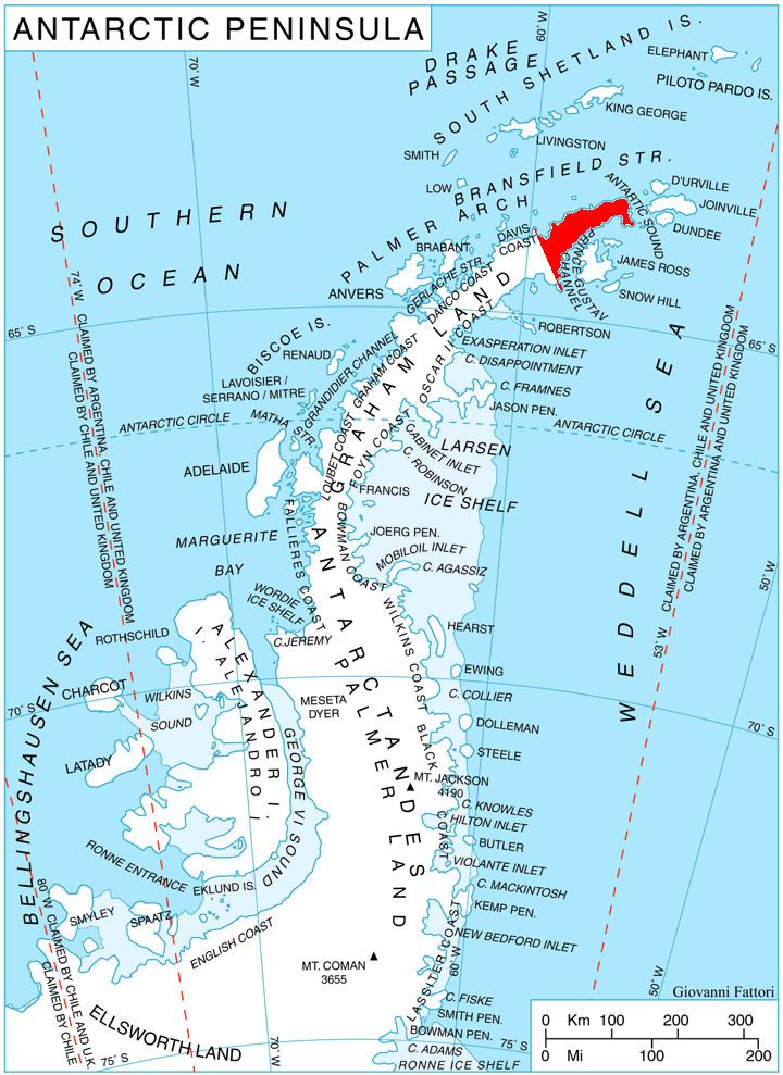
Map of Victory Glacier, Antarctica
References
Victory Glacier Wikipedia(Text) CC BY-SA