 | ||
Similar Tombs of Via Latina, Via Popilia, Via Portuensis, Via Aemilia Scauri, Via Traiana | ||
Dialogue in latin iii via latina longa est
The Via Latina (Latin: "Latin Road") was a Roman road of Italy, running southeast from Rome for about 200 kilometers.
Contents
- Dialogue in latin iii via latina longa est
- Map of Via Latina Roma Italy
- Lingua latina via latina 1
- Route
- References
Map of Via Latina, Roma, Italy
Lingua latina via latina 1
Route
It led from the Porta Latina in the Aurelian walls of Rome to the pass of Mons Algidus; it was important in the early military history of Rome. It must have preceded the Via Appia as a route to Campania, in as much as the Latin colony at Cales was founded in 334 BC and must have been accessible from Rome by road, whereas the Via Appia was made only twenty-two years later. It follows, too, a far more natural line of communication, without the engineering difficulties that the arrow-straight Via Appia had to overcome. As a through-route, it preceded the Via Labicana, though the latter may have been preferred in later times.
After their junction, the Via Latina continued to follow the valley of the Trerus (Sacco), following a line taken by the modern railway to Naples, and passing below the Hernican hill-towns, Anagni (where it joined with the Via Praenestina), Ferentino, Frosinone, and others. At Fregellae, it crossed the Liri, and then passed through Aquino and Cassino, both comparatively low-lying towns. It then entered the interval between the Apennines and the volcanic group of Rocca Monfina, and the original road and, instead of traversing it, turned abruptly northeast over the mountains to Venafro, thus giving a direct communication with the interior of Samnium by roads to Isernia and Telese.
After the disorders of the civil wars, the via Latina was repaired by a group of prominent Romans, including Marcus Valerius Messalla Corvinus; the work was under way in 27 BC, at the time of Tibullus' elegy.
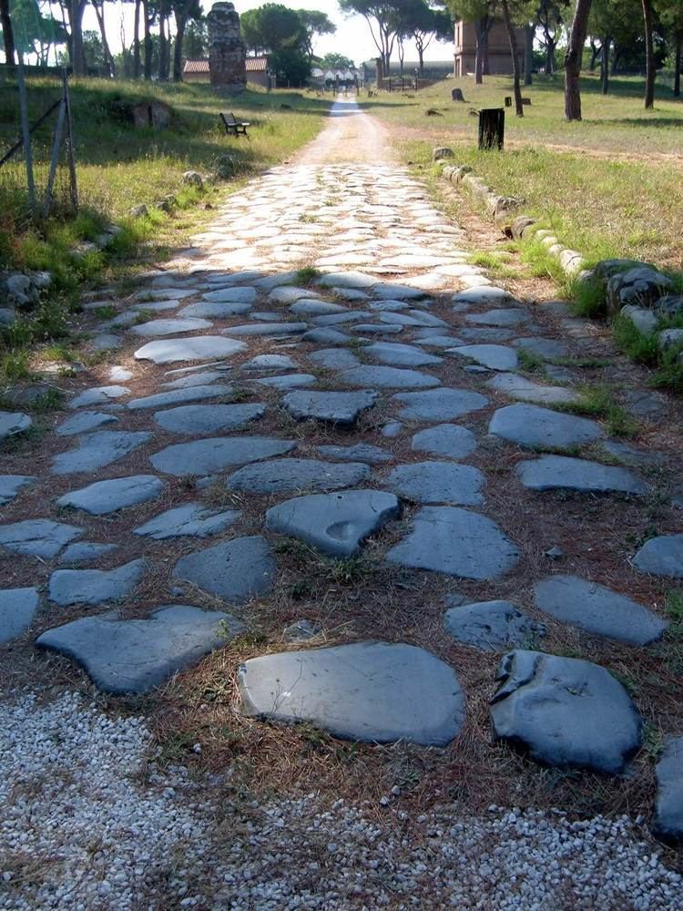
In later times, however, there was in all probability a shortcut by Rufrae along the line taken by the modern highroad and railway. The two lines rejoined near the present railway station of Caianiello, and the road ran to Teanum and Cales, and so to Casilinum, where there was the crossing of the Volturno and the junction with the Via Appia. The distance from Rome to Casilinum was 129 Roman miles by the Via Appia, 135 Roman miles by the old Via Latina through Venafrum, 126 Roman miles by the shortcut past Rufrae (now Presenzano). Considerable remains of the road exist in the neighborhood of Rome; for the first 40 Roman miles, as far as Compitum Anagninum, it is not followed by any modern road; while farther on in its course it is in the main identical with the modern highroad.
