
Canton Saulzais-le-Potier Area 48.61 km² INSEE/Postal code 18278 /18360 | Time zone CET (UTC+1) Population 623 (1999) | |
 | ||
Elevation 219–367 m (719–1,204 ft)(avg. 324 m or 1,063 ft) | ||
Vesdun is a commune in the Cher department in the Centre region of France.
Contents
Map of 18360 Vesdun, France
Geography
A large area of streams, lakes and farming comprising a village and many hamlets situated about 40 miles (64 km) south of Bourges at the junction of the D4 and D67 roads. The commune shares its southern border with that of the department of Allier. Vesdun is one of seven localities claiming the title of the geographical centre of France (if the coastal islands are included).
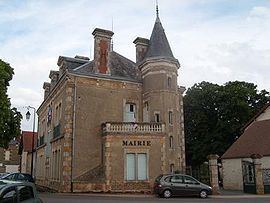
Sights
References
Vesdun Wikipedia(Text) CC BY-SA