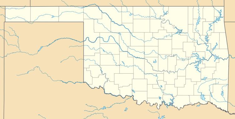
Country United States GNIS feature ID 1099244 Local time Sunday 6:17 AM | Time zone Central (CST) (UTC-6) Elevation 212 m | |
 | ||
Weather 15°C, Wind NE at 8 km/h, 90% Humidity | ||
Vernon is an unincorporated community in McIntosh County, Oklahoma, United States. Its elevation is 696 feet (212 m).
Contents
Map of Vernon, OK 74442, USA
History
Vernon was established in 1911 as an all-black community, and is one of thirteen such that still exists. It was named for Bishop W. T. Vernon of the African Methodist Episcopal Church.
The Fort Smith and Western Railway, which opened in 1899 and closed in 1939, operated through the town. The FS&W served major coal mining operations in eastern Oklahoma at Coal Creek, Bokoshe and McCurtain. Other towns served included Crowder, Okemah, Boley, Prague, Vernon, Indianola and Meridian. A major portion of the road's freight traffic was metallurgical-grade coal from San Bois Coal Company mines near McCurtain. However, the railroad was ultimately abandoned after the Great Depression.
A post office was established in 1920, in what was grocery and dry goods store; the building, known as The Rock Front, later became a tavern and pool hall and was listed on the National Register of Historic Places in 1984.
The community is also home to a cemetery.
