
Time zone CET (UTC+1) Area 25.84 km² | INSEE/Postal code 18276 /18210 Population 232 (1999) | |
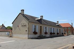 | ||
Vernais is a commune in the Cher department in the Centre region of France.
Contents
Map of Vernais, France
Geography
A forestry and farming village and a hamlet situated on the banks of the canal de Berry, about 22 miles (35 km) southeast of Bourges at the junction of the D76 and the D175 road. The Auron River forms part of the commune’s northern boundary and the Marmande a small part of its southern boundary.
Sights
References
Vernais Wikipedia(Text) CC BY-SA