
Population 9,902 (2011 census) Area 4.3 km² Local time Sunday 8:32 PM | Postcode(s) 3133 Postal code 3133 | |
 | ||
Weather 13°C, Wind SE at 14 km/h, 61% Humidity | ||
Vermont is a suburb of Melbourne, Victoria, Australia, 21 km (13 mi) east of Melbourne's Central Business District. Its local government area comprises the cities of Maroondah and Whitehorse. At the 2011 census, Vermont had a population of 9,902.
Contents
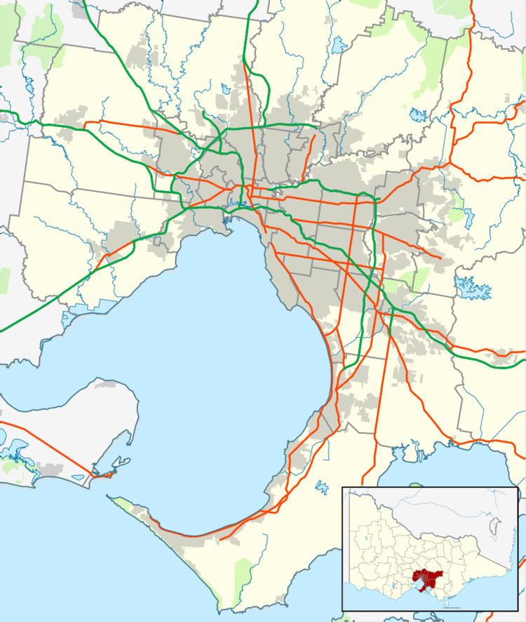
Map of Vermont VIC 3133, Australia
The meaning of (behind) Vermont is "Green Hill".
Vermont is bordered by Mitcham to the north, Nunawading and Forest Hill to the west, Vermont South to the south and Wantirna and Ringwood to the east.
The suburb of Vermont is the location of the Vermont Volunteers Roll of Honour for the First World War. The honour board used to hang in the former Mechanics Institute Hall, which was on the site now occupied by the Scout Hall. Some of the names listed are also included on the Mitcham and Blackburn War Memorials.
History
L. L. Vale Post Office opened on 1 November 1881 and was renamed Vermont in 1889. It was closed between 1895 and 1899. A Vermont East Post Office was open between 1964 and 1993.
Demographics
In the 2011 census the population of Vermont was 9,902, approximately 51.4% female and 48.6% male.
The median/average age of the people in Vermont is 40 years of age.
70.0% of people living in the suburb of Vermont were born in Australia. The other top responses for country of birth were 3.5% England, 3.1% China, 2.2% India, 1.8% Malaysia, 1.3% New Zealand, 1.3% Vietnam, 1.2% Sri Lanka, 0.8% Hong Kong, 0.7% Philippines, 0.7% Scotland, 0.7% Italy, 0.6% Germany, 0.5% South Africa, 0.5% Singapore.
76.0% of people living in Vermont speak English only. The other top languages spoken are 3.9% Mandarin, 3.4% Cantonese, 1.9% Language spoken at home not stated, 1.5% Other, 1.3% Vietnamese, 1.2% Greek, 1.1% Italian, 1.1% Sinhalese, 0.8% Hindi.
The religious makeup of Vermont is 26.5% No religion, 23.8% Catholic, 13.1% Anglican, 6.2% Uniting Church, 5.7% Religious affiliation not stated, 4.4% Buddhism, 2.9% Baptist, 2.9% Eastern Orthodox, 2.6% Presbyterian and Reformed, 2.2% Christian, nfd.
Transport
The nearest railway station is Mitcham railway station, located 2 km (1.2 mi) north of Vermont and Heatherdale Station, which is located 1.4 km north of Vermont (from Canterbury Road).
Vermont is serviced by five bus routes. Buses run 7 days of the week.
One of Melbourne's major arterials, Canterbury Road, passes through the centre of Vermont, running east to west. It is intersected by Mitcham and Boronia Roads, which run north and south-east respectively.
Education
Vermont is home to four schools:
Sport
The suburb has an Australian Rules football team, the Vermont Eagles, competing in the Eastern Football League. There is also the Vermont Cricket Club.