
Population 112,310 (2015) Mayor Tony Dib City of Maroondah Yarra Ranges Founded December 1994 | Established December 1994 Website City of Maroondah Area 61.4 km² Council seat Croydon | |
 | ||
Points of interest The House of War, Wombolano Park, Ringwood Lake Park, McAlpin Reserve, Candlebark Walk Reserve | ||
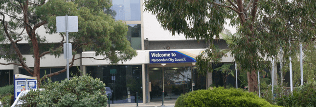
The City of Maroondah is a local government area in Victoria, Australia in the eastern suburbs of Melbourne. Maroondah has a population of 112,310.
Contents
Map of Maroondah, VIC, Australia
The City of Maroondah was created through the amalgamation the former Cities of Ringwood and Croydon in December 1994.
Suburbs located in the City include Ringwood, Croydon, Heathmont, Ringwood East, Ringwood North, Warranwood, Croydon North, Croydon South, Croydon Hills, Bayswater North and parts of Kilsyth South, Vermont and Park Orchards.
Schools
Suburbs
Councillors and wards
The City of Maroondah has three wards, each represented by three councillors:
References
City of Maroondah Wikipedia(Text) CC BY-SA