Elevation/(average value of) 707 m (2,320 ft) Area 27.75 km² | Established 1675 Time zone EET (UTC+2) Local time Sunday 11:49 AM | |
 | ||
Weather 16°C, Wind SW at 5 km/h, 34% Humidity | ||
Verkhnia Rozhanka (Ukrainian: Ве́рхня Рожа́нка) is a village in Lviv Oblast in western Ukraine. It is located in the Skolivskyi district (Skole Raion) Local government — Nyzhnorozhanska village council.
Contents
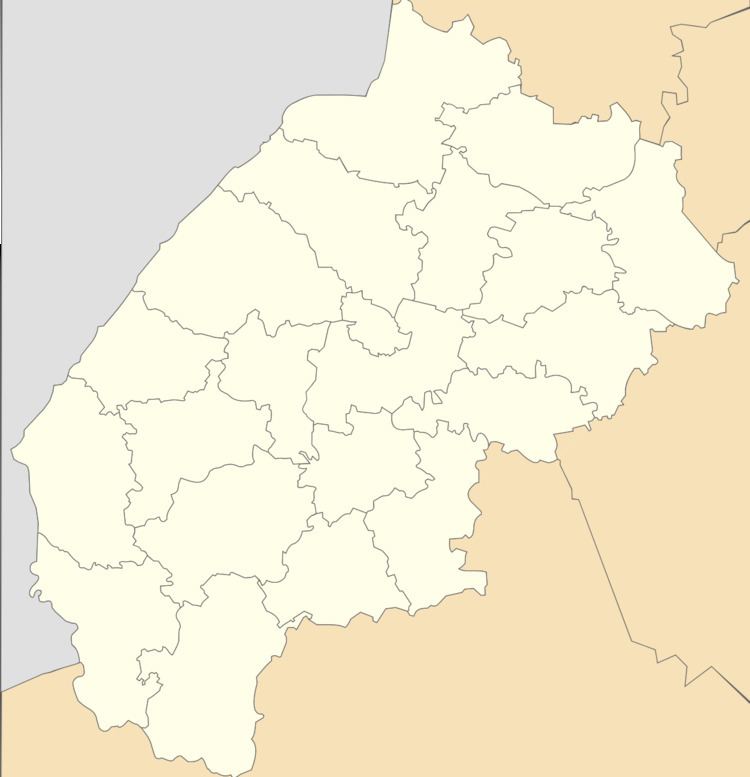
Map of Verkhnya Rozhanka, Lvivska, Ukraine
Geography
The village is located the between highest of picturesque mountains. West of the village are the vertices Vysokyy Verh (1,242 metres (4,070 ft)), Mount Yarochysche (987 metres (3,240 ft)) and Mount Yalyna (1,164.5 metres (3,821 ft)).
The village is located at a distance 145 kilometres (90 mi) from the regional center of Lviv, 36 kilometres (22 mi) from the district center Skole, and 16 kilometres (9.9 mi) from the urban village Slavske.
History
The first record of the village dates back to 1675 year.
Attractions
The village has two sights of architecture Skole district.
