
Intercommunality Trois Provinces Area 22.96 km² Population 159 (1999) | Canton Sancoins Time zone CET (UTC+1) Local time Sunday 9:39 AM | |
 | ||
Weather 9°C, Wind W at 5 km/h, 93% Humidity | ||
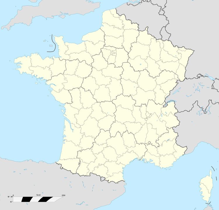
Vereaux is a commune in the Cher department in the Centre region of France.
Contents
Map of 18600 Vereaux, France
Geography
A farming area comprising the village and a hamlet situated on the banks of the small river Fausse, about 27 miles (43 km) southeast of Bourges at the junction of the D43 and the D42 road.
Sights
References
Vereaux Wikipedia(Text) CC BY-SA