
Country India Time zone IST (UTC+5:30) Local time Sunday 9:11 AM | State Andhra Pradesh Vehicle registration AP | |
 | ||
Weather 31°C, Wind NW at 8 km/h, 68% Humidity | ||
Venkatachalam or Venkatachellum is a village and a Mandal in Nellore district in the state of Andhra Pradesh in India.
Contents
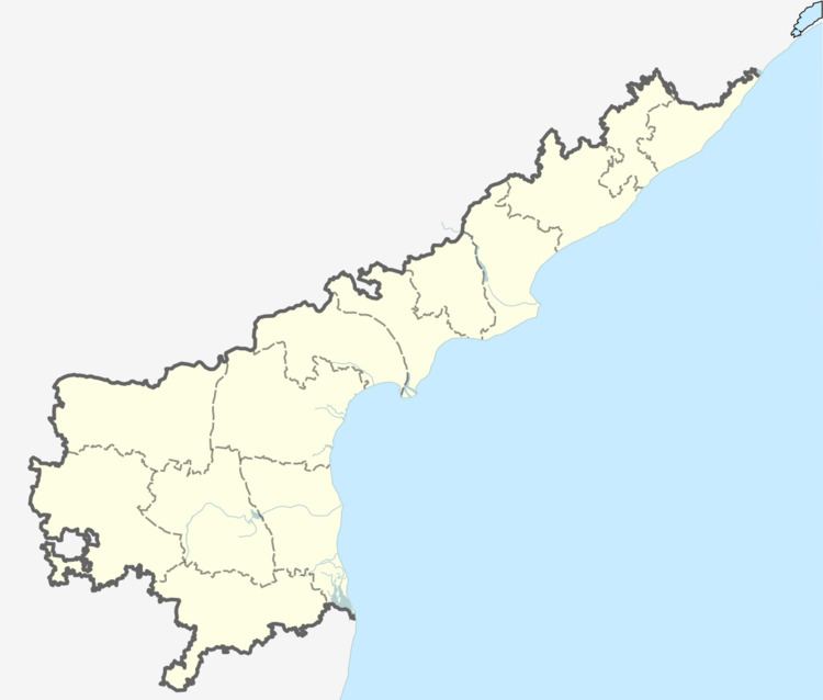
Map of Venkatachalam, Andhra Pradesh 524320
There is a railway station at Venkatachalam.
Geography
Venkatachellam is located at 14.3167°N 79.9167°E / 14.3167; 79.9167. It has an average elevation of 20 meters (68 feet).
Venkatachalam has become a development center due to its proximity and connectivity with Krishnapatnam port.
After the recent development in the region, Nellore and Venkatachalam are set to merge into single city soon.
Venkatachalam is at 15 km distance from Nellore city center(VRC), 20 km from Krishnapatnam port, connected with 4 lane road and rail lines to both.
Near by villages are Veeranna Kanupuru and Kasumur.
References
Venkatachalam Wikipedia(Text) CC BY-SA