
Country India District Kadapa PIN 516329 Elevation 201 m | State Andhra Pradesh Time zone IST (UTC+5:30) Vehicle registration AP Local time Sunday 6:51 AM | |
 | ||
Weather 30°C, Wind SW at 8 km/h, 43% Humidity Neighborhoods Razak Nagar, Y.S. Rajareddy Nagar, Gajulapeta, Christian Colony | ||
Vempalle is a village in Kadapa district of the Indian state of Andhra Pradesh. It is located in Vempalle mandal of Jammalamadugu revenue division.
Contents
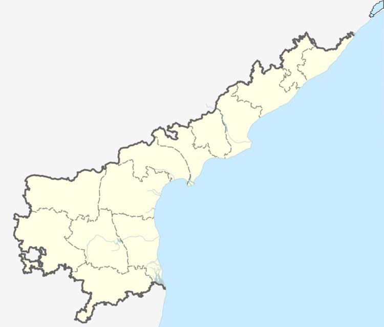
Map of Vempalli, Andhra Pradesh 516329
Geography
Vempalle is located at 14.3667°N 78.4667°E / 14.3667; 78.4667. It has an average elevation of 201 meters (662 feet).
References
Vempalle Wikipedia(Text) CC BY-SA