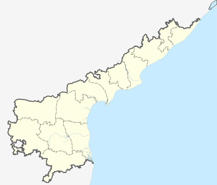
Country India District Krishna Vehicle registration AP–16 Population 1,100 (2011) | State Andhra Pradesh Time zone IST (UTC+5:30) Area 174 ha Local time Sunday 6:48 AM | |
 | ||
Weather 27°C, Wind S at 5 km/h, 91% Humidity | ||
Kondalamma temple vemavaram machilipatnam
Vemavaram is a village in Krishna district of the Indian state of Andhra Pradesh. It is located in Vijayawada (rural) mandal. It is located on the Gudivada – Machilipatnam route.
Contents
- Kondalamma temple vemavaram machilipatnam
- Map of Vemavaram Andhra Pradesh 521228
- West godavari vemavaram royyala cheruvu
- Education
- Economy
- Religion
- Hindu
- Other
- References
Map of Vemavaram, Andhra Pradesh 521228
Vemavaram (Telugu: వేమవరం) is a village in the Krishna district, Andhra Pradesh, with a population of 1100. It is on Machilipatnam (headquarters of the Krishna district) and Gudivada state highway road.
West godavari vemavaram royyala cheruvu
Education
The population has a 90% literacy rate.
Economy
The economy of the village is centered around agriculture. It contains a total of eight cheruvulu.
Religion
The religious make up of the town is 70% Hindu, 20% Muslim, and 10% Christians.
Hindu
In this village, there are 4 main temples:
Other
There are one mosques and two churches in the village as well.
References
Vemavaram Wikipedia(Text) CC BY-SA
