
Population 0 | ||
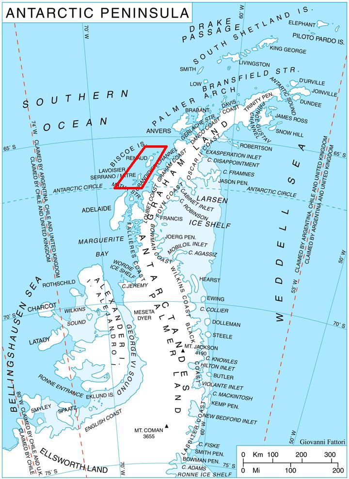 | ||
Vaugondy Island (Bulgarian: остров Вогонди, ‘Ostrov Vaugondy’ \'os-trov vo-gon-'di) is a mostly ice-covered island on the northeast side of Johannessen Harbour in the Pitt group of Biscoe Islands, Antarctica. The feature extends 1.85 km in north-south direction and 1.68 km in east-west.
Contents
Map of Vaugondy Island, Antarctica
The island is named after the French cartographer Didier Robert de Vaugondy (1723-1786) who published a map of the south polar region in 1777.
Location
Vaugondy Island is located at 65°24′37″S 65°21′47″W, 2.78 km west-southwest of Trundle Island, 1.1 km northwest of Jingle Island, 2.08 km east of Animas Island and 3.4 km south of Ribnik Island. British mapping in 1971.
Maps
References
Vaugondy Island Wikipedia(Text) CC BY-SA