
Canton Caudebec-en-Caux Area 51.14 km² Local time Saturday 6:49 PM | Region Normandy Population 890 (1999) | |
 | ||
Weather 14°C, Wind W at 6 km/h, 67% Humidity | ||
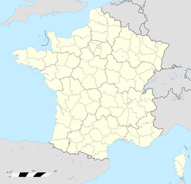
Vatteville-la-Rue is a commune in the Seine-Maritime department in the Haute-Normandie region in northern France.
Contents
Map of 76940 Vatteville-la-Rue, France
Geography
A village of forestry and farming situated in a meander of the river Seine in the Pays de Caux, some 22 miles (35 km) west of Rouen on the D65 and D40. The area is popular for the hunting of boar and deer. There is also considerable sand and gravel extraction at the large quarries.
Places of interest
People
References
Vatteville-la-Rue Wikipedia(Text) CC BY-SA