
County Borsod-Abaúj-Zemplén Rank Village Area 23.37 km² Postal code 3431 Area code 49 | Time zone CET (UTC+1) Local time Saturday 6:44 PM Population 919 (2009) KSH code 30076 | |
 | ||
Weather 21°C, Wind SE at 6 km/h, 36% Humidity | ||
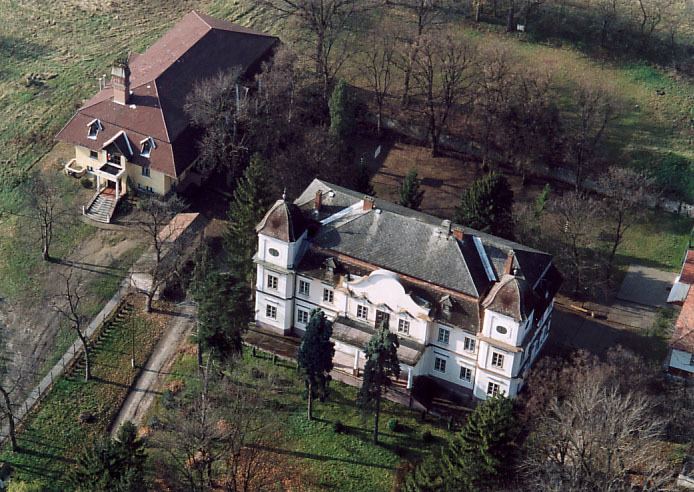
Vatta is a village in Borsod-Abaúj-Zemplén County, Hungary. It lies in the south of the county, 30 km (20 mi) from Miskolc and 19 km (12 mi) from Mezőkövesd.
Contents
Map of Vatta, 3431 Hungary
Etymology
According to local tradition, the name of Vatta from the name of an 11th-century pagan tribal chief called "Vata".
History
The first known record of the village is in a charter of 1323. In the following centuries it was known as Vatha, Woytha, Watha, and Bata. From 1475 the settlement was recorded as Alsóvatta ("Lower Vatta") and Felsővatta ("Upper Vatta"), which indicates that there were two distinct and separate settlements. These combined later.
During the Ottoman rule of the 16th Century, the village was razed and the inhabitants had to flee several times.
In 1895 Vatta became a town, and from 1950 an independent village. After Communist rule, in 1990 the village got its own parish council.