Harman Patil (Editor)

Vatovavy Fitovinany

Updated on
Edit
Like
Comment
Share on FacebookTweet on TwitterShare on LinkedInShare on Reddit
Country
  
Madagascar

Area
  
19,605 kmĀ²

Capital
  
Manakara

Time zone
  
EAT (UTC3)

Population
  
1.455 million (2014)

Vatovavy-Fitovinany httpsmw2googlecommwpanoramiophotosmedium

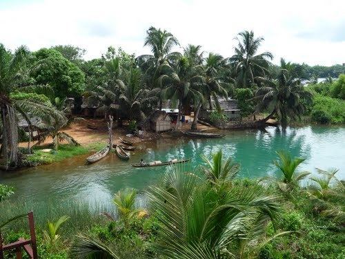
Points of interest
  
Ranomafana National Park

Vatovavy-Fitovinany is a region located in southeast Madagascar.

Contents

Map of Vatovavy-Fitovinany, Madagascar

  • Capital: Manakara
  • Chief: Georget Mandehatsara (since March 2012)
  • Dialectical: Antemoro
  • Transportation mean:
  • Train (from Fianarantsoa)
  • Car Taxi-Brousse
  • Plane
  • Manakara port is only used for product shipment and transit (Lychee, coffee, ...)
  • The region extends along the southern part of the east coast of Madagascar. It is bordered by Atsinanana (North), Amoron'i Mania and Haute Matsiatra (West) and Atsimo-Atsinanana (South).

    Administrative divisions

    Vatovavy-Fitovinany region is divided into six districts, which are sub-divided into 122 communes.

  • Ifanadiana District
  • Ikongo District
  • Manakara District
  • Mananjary District
  • Nosy Varika District
  • Vohipeno District
  • Protected areas

  • Part of Ranomafana National Park
  • References

    Vatovavy-Fitovinany Wikipedia