
Local time Saturday 7:38 PM | Time zone EAT (UTC3) | |
 | ||
Weather 26°C, Wind W at 2 km/h, 93% Humidity | ||
De tamatave vatomandry
Vatomandry [vatʷˈmanɖʐʲ] is a city in and the administrative center of the Vatomandry District, Atsinanana Region, Madagascar.
Contents
- De tamatave vatomandry
- Map of Vatomandry Madagascar
- Etymology and location
- History
- Notable locals
- References
Map of Vatomandry, Madagascar
Etymology and location
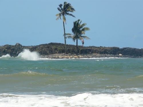
Located on the coast, the town's name means "Sleeping Rocks," derived from two black rocks near the shore. It is also on the path of the Canal des Pangalanes and Route Nationale (RN) 11.
History
In the pre-colonial era of the 19th century, Vatomandry was a center of Hova government with an active port.
From 1935.06.18 it was the first seat of the Roman Catholic Apostolic Prefecture of Vatomandry (on territories split off from the then Apostolic Vicariate of Tananarive and Apostolic Vicariate of Fianarantsoa) until 1939.05.25, when it was promoted and renamed as Apostolic Vicariate of Tamatave, after its new see Tamatave.
Tropical Cyclone Manou caused great damage in 2003 to the town and left 68 people dead. Cyclone Giovanna in 2012 also caused significant damage.