
Time zone MSK (UTC+03:00) | Population (2010 Census) 1,068 inhabitants Area 7 km² | |
 | ||
Urban-type settlement Day Second Sunday of August | ||
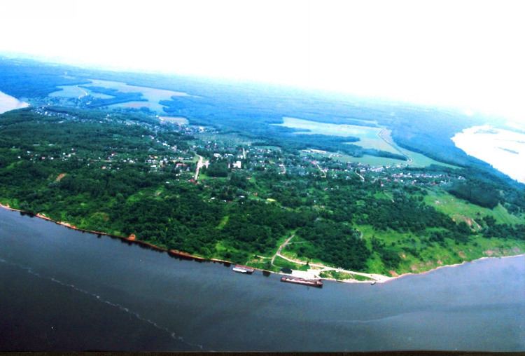
Vasilsursk (Russian: Васильсу́рск) is an urban locality (a work settlement) in Vorotynsky District of Nizhny Novgorod Oblast, Russia, located on the Sura River, not far from its fall into the Volga. Population: 1,068 (2010 Census); 1,329 (2002 Census); 1,871 (1989 Census).
Contents
Map of Vasilsursk, Nizhny Novgorod Oblast, Russia, 606263
History
A Kuruk-Mari wooden fortress named Tsepel used to stand where Vasilsursk is now located. Russians captured it after bloody fight in 1523 from Kuruk Maris and established on its site a small settlement. The fort here was used as an advanced base during the Russo-Kazan Wars.
Climate
Vasilsursk has a humid continental climate (Köppen climate classification Dfb) with long cold winters and warm, often hot dry summers. The warmest month is July with daily mean temperature near +20 °C (68 °F), the coldest month is January −12 °C (10 °F).
Transportation
In warmer months, a ferry operates between Vasilsursk and the settlement of Lysaya Gora. During winter, passengers are transported by amphibious boats Khivus-10.