
Native name Rio Vargem do Braço | ||
 | ||
River system Cubatão River (south Santa Catarina) | ||
The Vargem do Braço River (Portuguese: Rio Vargem do Braço) is a river of the state of Santa Catarina, Brazil.
Contents
- Map of Rio Vargem do BraC3A7o Santo Amaro da Imperatriz State of Santa Catarina Brazil
- Course
- References
Map of Rio Vargem do Bra%C3%A7o, Santo Amaro da Imperatriz - State of Santa Catarina, Brazil
Course
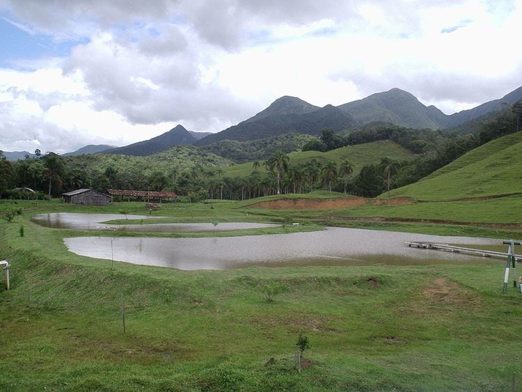
The Vargem do Braço River rises in the lushly-forested Serra do Tabuleiro State Park, a 84,130 hectares (207,900 acres) protected area created in 1975. The Serra do Tabuleiro, with altitudes above 1,200 metres (3,900 ft), is the largest mountain in the east-central portion of the state. The river is the main source of water for the greater Florianópolis metropolitan region. The river seems to have flowed NNW until quite recently, when a major tectonic event forced it to change its course. It now flows ENE to enter the Cubatão River near its mouth on the Atlantic Ocean.
References
Vargem do Braço River Wikipedia(Text) CC BY-SA