
Country United States Established November 9, 1859 ZIP codes 62418, 62471, 62885 Elevation 140 m Local time Saturday 1:44 AM | Time zone CST (UTC-6) GNIS feature ID 0429862 Area 91.61 km² Population 6,629 (2010) | |
 | ||
Weather 6°C, Wind N at 6 km/h, 88% Humidity Points of interest | ||
Vandalia Township is one of twenty townships in Fayette County, Illinois, USA. As of the 2010 census, its population was 6,629 and it contained 3,115 housing units.
Contents
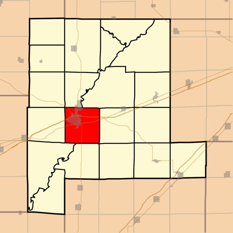
- Map of Vandalia Township IL USA
- Geography
- Cities towns villages
- Unincorporated towns
- Extinct towns
- Cemeteries
- Major highways
- Rivers
- Landmarks
- School districts
- Political districts
- References
Map of Vandalia Township, IL, USA
Geography
According to the 2010 census, the township has a total area of 35.37 square miles (91.6 km2), of which 35.08 square miles (90.9 km2) (or 99.18%) is land and 0.29 square miles (0.75 km2) (or 0.82%) is water.
Cities, towns, villages
Unincorporated towns
Extinct towns
Cemeteries
The township contains these eight cemeteries: Fairlawn, Haley Chapel, Mother of Dolors, Old State Burial Ground, Pinhook, Ritter, South Hill and Vandalia City.
Major highways
Rivers
Landmarks
School districts
Political districts
References
Vandalia Township, Fayette County, Illinois Wikipedia(Text) CC BY-SA