
Country United States GNIS feature ID 0445224 Zip code 47868 | State Indiana Elevation 240 m Local time Saturday 2:44 AM | |
 | ||
Weather 4°C, Wind NW at 10 km/h, 80% Humidity | ||
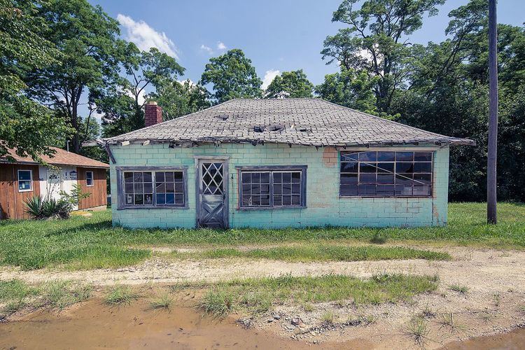
Vandalia is an unincorporated community in Lafayette Township, Owen County, Indiana, United States.
Contents
Map of Vandalia, IN 47868, USA
History
Vandalia was laid out in 1839. A post office was established at Vandalia in 1846, and remained in operation until 1927.
Geography
Vandalia is located at 39°18′45″N 86°51′58″W at an elevation of 787 feet. It lies at the east end of State Road 246 where it intersects State Road 46.
References
Vandalia, Indiana Wikipedia(Text) CC BY-SA