
Country United States County Cass FIPS code 26-81680 Area 256 ha Zip code 49095 Population 294 (2013) | Time zone Eastern (EST) (UTC-5) GNIS feature ID 1615496 Elevation 268 m Local time Saturday 2:45 AM Area code 269 | |
 | ||
Weather 2°C, Wind N at 6 km/h, 88% Humidity | ||
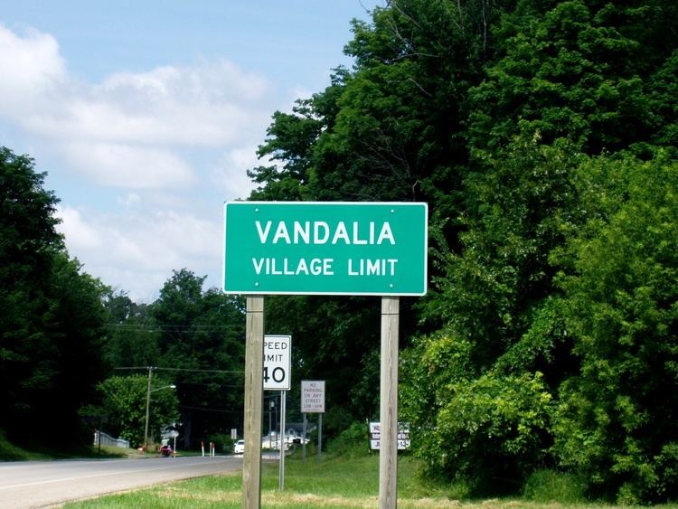
Vandalia is a village in Penn Township, Cass County in the U.S. state of Michigan. The population was 301 at the 2010 census. It is part of the South Bend–Mishawaka, IN-MI, Metropolitan Statistical Area.
Contents
Map of Vandalia, MI 49095, USA
Geography
According to the United States Census Bureau, the village has a total area of 0.99 square miles (2.56 km2), all land.
2010 census
As of the census of 2010, there were 301 people, 107 households, and 77 families residing in the village. The population density was 304.0 inhabitants per square mile (117.4/km2). There were 141 housing units at an average density of 142.4 per square mile (55.0/km2). The racial makeup of the village was 41.5% White, 42.2% African American, 0.3% Native American, 7.6% Asian, 1.7% from other races, and 6.6% from two or more races. Hispanic or Latino of any race were 1.7% of the population.
There were 107 households of which 36.4% had children under the age of 18 living with them, 43.9% were married couples living together, 21.5% had a female householder with no husband present, 6.5% had a male householder with no wife present, and 28.0% were non-families. 23.4% of all households were made up of individuals and 6.5% had someone living alone who was 65 years of age or older. The average household size was 2.81 and the average family size was 3.29.
The median age in the village was 39.3 years. 25.6% of residents were under the age of 18; 7% were between the ages of 18 and 24; 25.2% were from 25 to 44; 25.2% were from 45 to 64; and 16.9% were 65 years of age or older. The gender makeup of the village was 53.2% male and 46.8% female.
2000 census
As of the census of 2000, there were 429 people, 127 households, and 101 families residing in the village. The population density was 432.5 per square mile (167.3/km²). There were 157 housing units at an average density of 158.3 per square mile (61.2/km²). The racial makeup of the village was 37.30% White, 47.55% African American, 0.23% Native American, 8.39% Asian, 1.17% from other races, and 5.36% from two or more races. Hispanic or Latino of any race were 2.56% of the population.
There were 127 households out of which 41.7% had children under the age of 18 living with them, 49.6% were married couples living together, 22.0% had a female householder with no husband present, and 19.7% were non-families. 15.7% of all households were made up of individuals and 6.3% had someone living alone who was 65 years of age or older. The average household size was 3.38 and the average family size was 3.69.
In the village, the population was spread out with 38.5% under the age of 18, 10.3% from 18 to 24, 25.9% from 25 to 44, 15.4% from 45 to 64, and 10.0% who were 65 years of age or older. The median age was 26 years. For every 100 females there were 111.3 males. For every 100 females age 18 and over, there were 103.1 males.
The median income for a household in the village was $30,417, and the median income for a family was $31,750. Males had a median income of $28,462 versus $21,875 for females. The per capita income for the village was $11,394. About 12.9% of families and 14.7% of the population were below the poverty line, including 13.9% of those under age 18 and 15.4% of those age 65 or over.
Transportation
History
Vandalia hosted a station of the Underground Railroad. An Underground Railroad memorial sign resides at Milo E. Barnes Park just off M-60. Other locations in Penn Township, in which Vandalia is located, also were affiliated with the Underground Railroad.
Vandalia is also known as the nearest incorporated community to the defunct Rainbow Farm.
Feb. 17th year unknown newspaper article probably the Cassopolis Vigilant
MAYOR TO DETAIL HISTORY OF BUSTLING VILLAGE
Vandalia Mayor John Cooper will be the speaker at the Cass County Historical Society meeting Feb. 17, 8pm at the county library. His topic will be the history of Vandalia and he promises to bring historical photographs. The public in invited. Refreshments will be served. Anyone having artifacts of Vandalia is urged to bring them. History teachers interested in having the classes represented may make arrangements through the library by contacting Jean Schmidt. Vandalia was a stop on the Airline Railroad and, according to the 1882 History of Cass County, the bustling village had two general stores, two hardware stores, two millinery establishments, two blacksmith shops, two hotels, three combination drug and grocery stores, a dry goods and clothing store and one each of a drug store, clothing store, furniture, stationery, harness, cooper shop, wagon, shoemaker, butcher shop, foundry, grist mill, livery and bank.