
GNIS feature ID 0453949 Area 64.72 km² Local time Friday 10:34 PM | ZIP code 46070 Elevation 271 m Population 1,861 (2010) | |
 | ||
Weather 4°C, Wind NW at 16 km/h, 97% Humidity | ||
Van Buren Township is one of fourteen townships in Madison County, Indiana, United States. As of the 2010 census, its population was 1,861 and it contained 795 housing units.
Contents
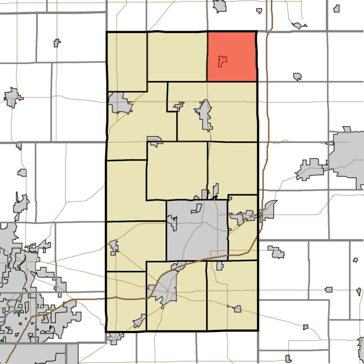
- Map of Van Buren Township IN USA
- History
- Geography
- Cities towns villages
- Cemeteries
- School districts
- Political districts
- References
Map of Van Buren Township, IN, USA
History
Van Buren Township was organized in 1837. It was named for President Martin Van Buren.
Geography
According to the 2010 census, the township has a total area of 24.99 square miles (64.7 km2), of which 24.98 square miles (64.7 km2) (or 99.96%) is land and 0.01 square miles (0.026 km2) (or 0.04%) is water.
Cities, towns, villages
Cemeteries
The township contains these two cemeteries: Musick and Vinson.
School districts
Political districts
References
Van Buren Township, Madison County, Indiana Wikipedia(Text) CC BY-SA