
Country United States GNIS feature ID 453948 Area 98.7 km² Population 3,439 (2010) | FIPS code 18-78506 Elevation 254 m Local time Friday 10:34 PM | |
 | ||
Weather 3°C, Wind N at 16 km/h, 90% Humidity | ||
Van Buren Township is one of eleven townships in LaGrange County, Indiana. As of the 2010 census, its population was 3,439 and it contained 1,104 housing units.
Contents
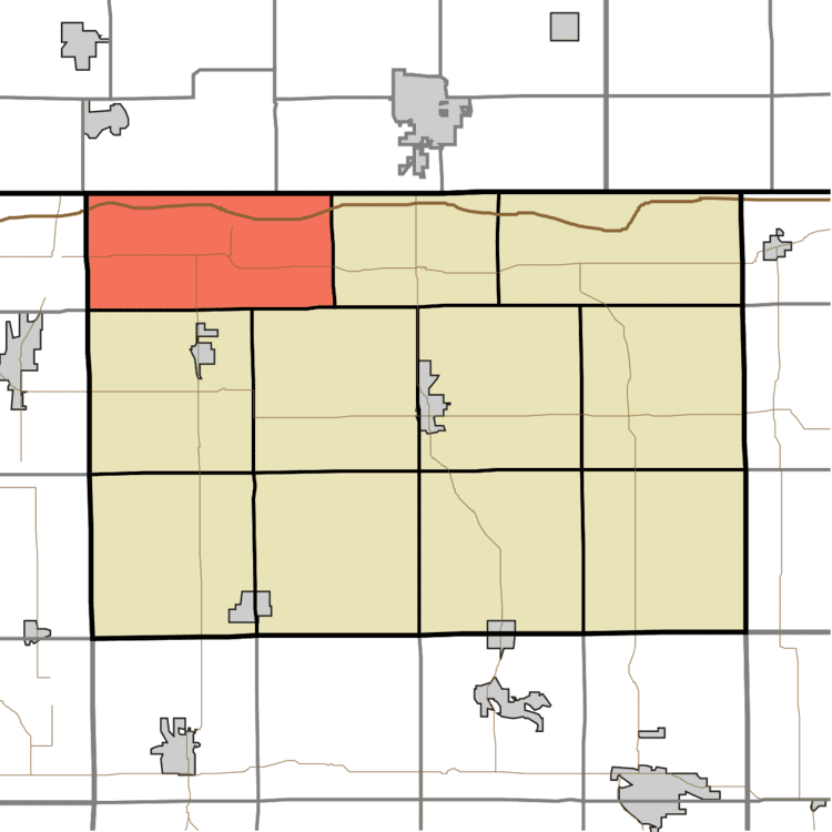
Map of Van Buren Township, IN, USA
History
Van Buren Township was organized in 1837, and named for president elect Martin Van Buren.
Geography
According to the 2010 census, the township has a total area of 38.11 square miles (98.7 km2), of which 37.64 square miles (97.5 km2) (or 98.77%) is land and 0.47 square miles (1.2 km2) (or 1.23%) is water.
References
Van Buren Township, LaGrange County, Indiana Wikipedia(Text) CC BY-SA