
Area 48.42 km² Local time Saturday 1:40 AM | Canton Felletin Time zone CET (UTC+1) Population 744 (1999) | |
 | ||
Weather 8°C, Wind S at 6 km/h, 96% Humidity | ||
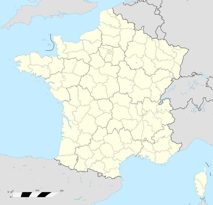
Vallière is a commune in the Creuse department in the Nouvelle-Aquitaine region in central France.
Contents
Map of 23120 Valli%C3%A8re, France
Geography
A farming area comprising the village and several hamlets situated by the banks of the river Banize, some 10 miles (16 km) southwest of Aubusson, at the junction of the D7, D10, D16 and the D36 roads. The commune lies within the natural park of the ‘Millevaches’ (1000 lakes, not cows).
Sights
References
Vallière Wikipedia(Text) CC BY-SA