
- right Little Valley Creek - elevation 59 ft (18 m) - max 53 cu ft/s (2 m/s) Basin area 60.61 km² | - average 19 cu ft/s (1 m/s) - min 9.1 cu ft/s (0 m/s) Bridges County Bridge No. 171 | |
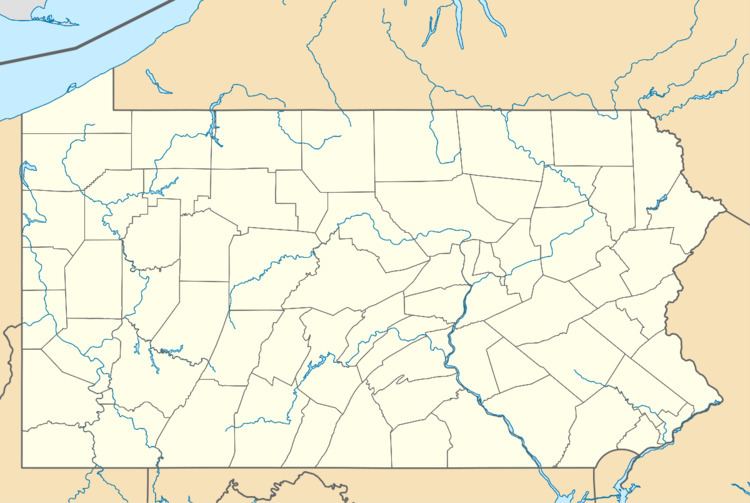 | ||
Valley Creek is a 10.8-mile-long (17.4 km) tributary of the Schuylkill River in eastern Chester County, Pennsylvania, United States, flowing through an area known as the Great Valley.
Map of Valley Creek, Pennsylvania, USA
Around 1740 a forge was erected along Valley Creek near its confluence with the Schuylkill. This gave rise to the community of Valley Forge. Later the creek powered a saw mill and grist mill there. In 1777, the forge and mills were destroyed by the British Army during the American Revolutionary War. In December 1777, George Washington chose Valley Forge as the site for the winter encampment of the Continental Army partly because Valley Creek and the Schuylkill River formed natural defensive barriers for the rear of the camp. Washington's Headquarters during this period was in a farmhouse close to the confluence. The American forces departed in the spring of 1778.