
Country United States County Riverside FIPS code 06-81708 Elevation 541 m Zip code 92544 Area code Area code 951 | State California Time zone PST (UTC-8) GNIS feature ID 1652805 Area 18.33 km² Population 11,036 (2010) | |
 | ||
Cameron books hemet san jacinto valle vista california history of the area
Valle Vista is a census-designated place (CDP) in Riverside County, California, United States and is located in the San Jacinto Valley. Some areas of Valle Vista are considered to be part of both unincorporated San Jacinto and Hemet but has yet to be incorporated. The population was 11,036 at the 2010 census, up from 8,356 at the 2000 census.
Contents
- Cameron books hemet san jacinto valle vista california history of the area
- Map of Valle Vista CA 92544 USA
- Geography
- Climate
- 2010
- 2000
- Government
- References
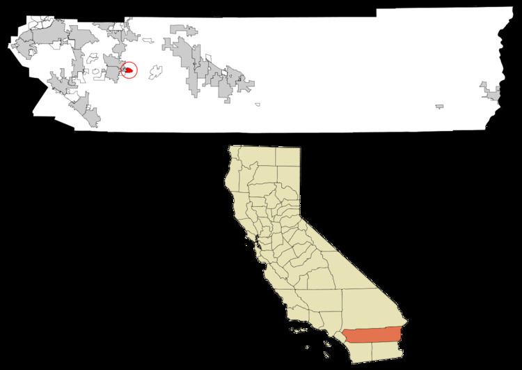
Map of Valle Vista, CA 92544, USA
Geography
Valle Vista is located at 33°45′10″N 116°53′53″W (33.752820, -116.898159).
According to the United States Census Bureau, the CDP has a total area of 7.1 square miles (18 km2), of which, 6.9 square miles (18 km2) of it is land and 0.2 square miles (0.52 km2) of it (2.94%) is water.
Climate
Valle Vista, generally has year-round pleasant weather, with hot summers and mild, wet winters. On average, the warmest month is August. The highest recorded temperature was 115 °F (46 °C) in 2004. On average, the coolest month is December. The lowest recorded temperature was 9 °F (−13 °C) in 1974. The maximum average precipitation occurs in February.
2010
The 2010 United States Census reported that Valle Vista had a population of 11,036. The population density was 2,060.0 people per square mile (795.4/km²). The racial makeup of Valle Vista was (69.2%) White, (13.0%) African American,(1.7%) Native American,(1.9%) Asian,(0.3%) Pacific Islander,(9.3%) from other races, and (4.6%) from two or more races. Hispanic or Latino (27.6%).
The Census reported that 11,036 people (100% of the population) lived in households, 5 (0%) lived in non-institutionalized group quarters, and 0 (0%) were institutionalized.
There were 5,464 households, out of which 1,762 (32.2%) had children under the age of 18 living in them, 2,738 (50.1%) were opposite-sex married couples living together, 693 (12.7%) had a female householder with no husband present, 327 (6.0%) had a male householder with no wife present. There were 335 (6.1%) unmarried opposite-sex partnerships, and 31 (0.6%) same-sex married couples or partnerships. 1,410 households (25.8%) were made up of individuals and 794 (14.5%) had someone living alone who was 65 years of age or older. The average household size was 2.67. There were 3,758 families (68.8% of all households); the average family size was 3.20.
The population was spread out with 3,630 people (24.9%) under the age of 18, 1,188 people (8.1%) aged 18 to 24, 3,126 people (21.4%) aged 25 to 44, 3,804 people (26.1%) aged 45 to 64, and 2,830 people (19.4%) who were 65 years of age or older. The median age was 41.4 years. For every 100 females there were 91.9 males. For every 100 females age 18 and over, there were 90.7 males.
There were 6,112 housing units at an average density of 863.7 per square mile (333.5/km²), of which 4,129 (75.6%) were owner-occupied, and 1,335 (24.4%) were occupied by renters. The homeowner vacancy rate was 4.4%; the rental vacancy rate was 9.8%. 10,384 people (71.2% of the population) lived in owner-occupied housing units and 4,189 people (28.7%) lived in rental housing units.
2000
As of the census of 2000, there were 8,356 people, 4,510 households, and 2,963 families residing in the CDP. The population density was 3,269.7 people per square mile (1,261.5/km²). There were 5,009 housing units at an average density of 1,530.4 per square mile (590.5/km²). The racial makeup of the CDP was 78.6% White, 12.2% African American, 3.3% Native American, 1.3% Asian, 0.2% Pacific Islander, 1.9% from other races, and 2.6% from two or more races. Hispanic or Latino of any race were 13.7% of the population.
There were 4,510 households out of which 23.2% had children under the age of 18 living with them, 53.8% were married couples living together, 8.8% had a female householder with no husband present, and 34.3% were non-families. 30.3% of all households were made up of individuals and 21.1% had someone living alone who was 65 years of age or older. The average household size was 2.3 and the average family size was 2.9.
In the CDP, the population was spread out with 22.3% under the age of 18, 5.5% from 18 to 24, 20.6% from 25 to 44, 19.9% from 45 to 64, and 31.7% who were 65 years of age or older. The median age was 46 years. For every 100 females there were 88.2 males. For every 100 females age 18 and over, there were 84.0 males.
The median income for a household in the CDP was $32,455, and the median income for a family was $44,504. Males had a median income of $45,765 versus $26,250 for females. The per capita income for the CDP was $18,130. About 8.6% of families and 11.7% of the population were below the poverty line, including 17.0% of those under age 18 and 7.7% of those age 65 or over.
Government
In the California State Legislature, Valle Vista is in the 28th Senate District, represented by Republican Jeff Stone, and the 71st Assembly District, represented by Republican Randy Voepel.
In the United States House of Representatives, Valle Vista is in California's 36th congressional district, represented by Democrat Raul Ruiz.