
Elevation 1,800 m (5,900 ft) | Time zone CET (UTC+1) Local time Tuesday 8:42 AM | |
 | ||
Frazioni Uzza, San Nicolò, Sant'Antonio, San Gottardo, Madonna dei Monti, Santa Caterina Weather 2°C, Wind N at 10 km/h, 72% Humidity Points of interest Monte Cevedale, Sci Santa Caterina, Gran Zebrù, Punta San Matteo, Ghiacciaio dei Forni | ||
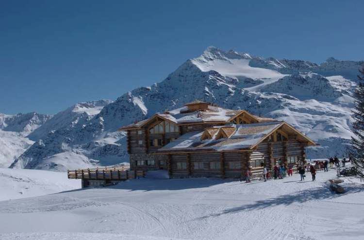
Valfurva is a comune (municipality) in the Province of Sondrio in the Italian region Lombardy, located about 150 kilometres (93 mi) northeast of Milan and about 50 kilometres (31 mi) northeast of Sondrio, in the Alps. As of 31 December 2004, it had a population of 2,725 and an area of 215.9 square kilometres (83.4 sq mi).
Map of 23030 Valfurva, Province of Sondrio, Italy
The municipality of Valfurva contains the frazioni (subdivisions, mainly villages and hamlets) Uzza, San Nicolò, Sant'Antonio, San Gottardo, Madonna dei Monti, and Santa Caterina.
Valfurva borders the following municipalities: Bormio, Martell, Peio, Ponte di Legno, Sondalo, Stilfs, Valdisotto.
References
Valfurva Wikipedia(Text) CC BY-SA