
Climate Cfb Population 10,324 (2002) | Time zone EET (UTC+2) Area 73.54 km² Local time Tuesday 7:33 AM | |
 | ||
Weather 9°C, Wind NE at 14 km/h, 67% Humidity | ||
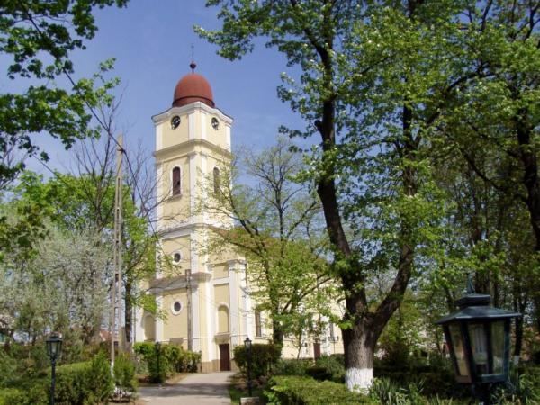
Valea lui Mihai ([ˈvale̯a luj miˈhaj]; Hungarian: Érmihályfalva; Yiddish: מיהאליפאלווא Mihalifalva, or מיהייפאלווא Mihaifalva) is a town in Romania.
Contents
Map of Valea lui Mihai 415700, Romania
Geography
It is located around 66 km north-east of Oradea, 9 km from the Hungarian border in Bihor County, western Transylvania, Romania.
History
In 1312, under Charles I, it was allowed new trade privileges and then in 1459 was also allowed tax benefits privileges for its citizens. Later it was part of the Ottoman Empire, which resulted in its depopulation, but the inhabitants subsequently returned. Thereafter, it was part of the Habsburg Monarchy up until the Austro-Hungarian Compromise of 1867. Then it became part of the Kingdom of Hungary within Austria-Hungary.
After the breaking-up of Austria-Hungary in 1918/1920, the town became part of Romania. As a result of the Second Vienna Award it became a part of Hungary between 1940 and 1945. Since then it has been part of Romania. It was declared a town on three separate occasions: in 1844, 1930 and 1989.
Population
According to the last census from 2011 there were 9,668 people living within the city.
Of this population, 81.03% are ethnic Hungarians, while 13.23% are ethnic Romanians and 1.3% others.