
Demonym(s) anariense Elevation 140 m Population 9,361 (2010) | Time zone UTC-4 Area 3,135 km² Local time Monday 9:35 PM | |
 | ||
Weather 24°C, Wind N at 5 km/h, 95% Humidity | ||
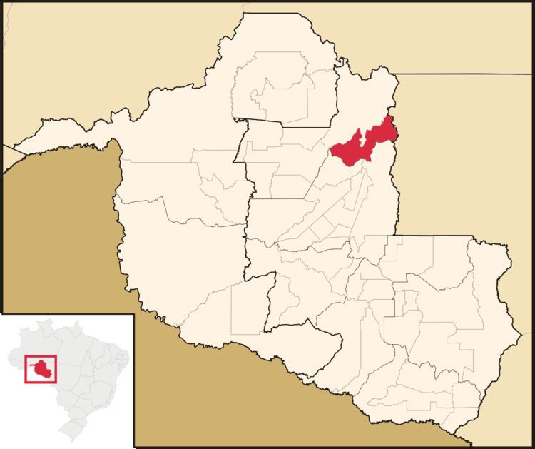
Vale do Anari is a municipality located in the Brazilian state of Rondônia. Its population was 10,471 (2005) and its area is 3,135 km².
Contents
Map of Vale do Anari - State of Rond%C3%B4nia, Brazil
History
The municipality was instated by law n°572 (22 June 1994), signed by governor Oswaldo Piana Filho, with its area taken from Machadinho d'Oeste municipality.
The municipality contains part of the 346,861 hectares (857,110 acres) Jaru Biological Reserve, a fully protected conservation unit created in 1984. It contains the 537 hectares (1,330 acres) Seringueira Extractive Reserve, one of a number of small sustainable use units in the region whose primary product is rubber. The municipality also contains the Aquariquara Extractive Reserve, also created in 1995.
References
Vale do Anari Wikipedia(Text) CC BY-SA