
Population 9,763 (2013) | Unemployment rate 10.5% (Apr 2015) | |
 | ||
Points of interest Wrangell–St Elias National, Knik Glacier, Kennecott, Chugach National Forest, Thompson Pass Destinations | ||
Valdez-Cordova Census Area is a census area located in the state of Alaska, United States. As of the 2010 census, the population was 9,636. It is part of the unorganized borough and therefore has no borough seat. Its largest communities are Valdez and Cordova.
Contents
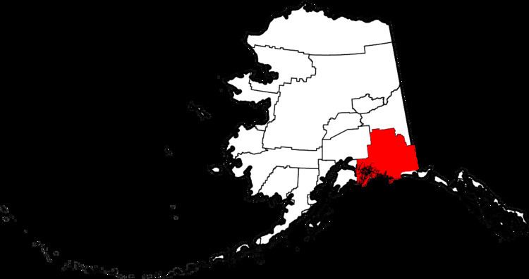
- Map of Valdez Cordova AK USA
- Geography
- Adjacent boroughs and census areas
- National protected areas
- Demographics
- Cities
- Other places
- References
Map of Valdez-Cordova, AK, USA
Geography
According to the U.S. Census Bureau, the census area has a total area of 40,340 square miles (104,500 km2), of which 34,240 square miles (88,700 km2) is land and 6,100 square miles (16,000 km2) (15.1%) is water.
Adjacent boroughs and census areas
National protected areas
Demographics
As of the census of 2000, there were 10,195 people, 3,884 households, and 2,559 families residing in the census area. The population density was less than 1 person per square mile (less than 1/km²). There were 5,148 housing units at an average density of less than 1/sq mi (less than 1/km²). The racial makeup of the census area was 75.90% White, 0.32% Black or African American, 13.25% Native American, 3.55% Asian, 0.26% Pacific Islander, 1.13% from other races, and 5.58% from two or more races. 2.81% of the population were Hispanic or Latino of any race. 2.33% reported speaking Spanish at home, while 2.26% speak Tagalog.
There were 3,884 households out of which 37.30% had children under the age of 18 living with them, 52.10% were married couples living together, 8.50% had a female householder with no husband present, and 34.10% were non-families. 27.00% of all households were made up of individuals and 4.90% had someone living alone who was 65 years of age or older. The average household size was 2.58 and the average family size was 3.18.
In the census area the population was spread out with 29.60% under the age of 18, 7.00% from 18 to 24, 30.90% from 25 to 44, 26.50% from 45 to 64, and 6.00% who were 65 years of age or older. The median age was 36 years. For every 100 females there were 113.90 males. For every 100 females age 18 and over, there were 115.90 males.