
Population 6,985 (2013) | Unemployment rate 12.3% (Apr 2015) | |
 | ||
Rivers Yukon River, Delta River, Charley River, Kandik River Points of interest Wrangell–St Elias National, F E Company Dredge N, Sullivan Roadhouse, Eagle Historical Society, Mount Hayes Destinations | ||
Southeast Fairbanks Census Area is a census area located in the U.S. state of Alaska. As of the 2010 census, the population was 7,029. It is part of the unorganized borough and therefore has no borough seat. Its largest communities are Deltana and Tok, both unincorporated CDPs.
Contents
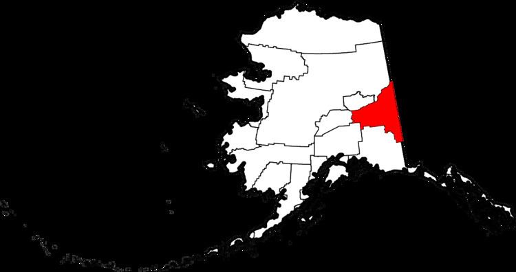
- Map of Southeast Fairbanks AK USA
- Geography
- Adjacent boroughs and census areas
- National protected areas
- Demographics
- Cities
- References
Map of Southeast Fairbanks, AK, USA
Geography
According to the U.S. Census Bureau, the census area has a total area of 25,059 square miles (64,900 km2), of which 24,769 square miles (64,150 km2) is land and 291 square miles (750 km2) (1.2%) is water.
Adjacent boroughs and census areas
National protected areas
Demographics
As of the census of 2000, there were 6,174 people, 2,098 households, and 1,506 families residing in the census area. The population density was 0.25 people per square mile (0.01/km²). There were 3,225 housing units at an average density of 0.13/sq mi (0.05/km²). The racial makeup of the census area was 78.99% White, 1.98% Black or African American, 12.71% Native American, 0.68% Asian, 0.15% Pacific Islander, 0.73% from other races, and 4.76% from two or more races. 2.70% of the population were Hispanic or Latino of any race. 4.29% reported speaking an Athabaskan language at home, while 4.02% speak Russian, 3.76% Ukrainian, and 2.34% Spanish.
There were 2,098 households out of which 39.40% had children under the age of 18 living with them, 58.20% were married couples living together, 8.60% had a female householder with no husband present, and 28.20% were non-families. 23.50% of all households were made up of individuals and 5.50% had someone living alone who was 65 years of age or older. The average household size was 2.80 and the average family size was 3.34.
In the census area the population was spread out with 32.80% under the age of 18, 7.60% from 18 to 24, 27.80% from 25 to 44, 25.70% from 45 to 64, and 6.10% who were 65 years of age or older. The median age was 34 years. For every 100 females there were 107.20 males. For every 100 females age 18 and over, there were 108.60 males.