
Time zone CET (UTC+1) Population 389 (1999) | Area 10.11 km² Local time Tuesday 1:57 AM | |
 | ||
Intercommunality Communauté de communes du Canton de Rumilly Weather 10°C, Wind N at 8 km/h, 80% Humidity | ||
Terex ac500 lisa dufour val de fier 02 03 2013
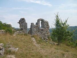
Val-de-Fier is a commune in the Haute-Savoie department in the Auvergne-Rhône-Alpes region in south-eastern France. Its nearest town is Rumilly.
Contents
- Terex ac500 lisa dufour val de fier 02 03 2013
- Map of 74150 Val de Fier France
- Geography
- History
- Population
- Mayors
- References
Map of 74150 Val-de-Fier, France
Geography
The Fier forms most of the commune's south-western border.
History
Val-de-Fier was formed in 1973 from two different villages : Sion and Saint-André.
Population
Mayors
References
Val-de-Fier Wikipedia(Text) CC BY-SA