
Postal code 2824/2828/2829 Elevation 455 m District Delémont District | Localities Recolaine Area 38.86 km² Sfos number 6730 | |
 | ||
Surrounded by Courchapoix, Rebeuvelier, Courroux, Bärschwil(SO), Mervelier, Corban, Grindel(SO), Erschwil(SO), Beinwil(SO), Courchapoix, Schelten(BE), Elay(BE), Corcelles(BE), Crémines(BE) Website www.val-terbi.ch SFSO statistics | ||
Val Terbi is a municipality in the district of Delémont in the canton of Jura in Switzerland. The municipalities of Montsevelier, Vermes and Vicques merged on 1 January 2013 into the new municipality of Val Terbi.
Contents
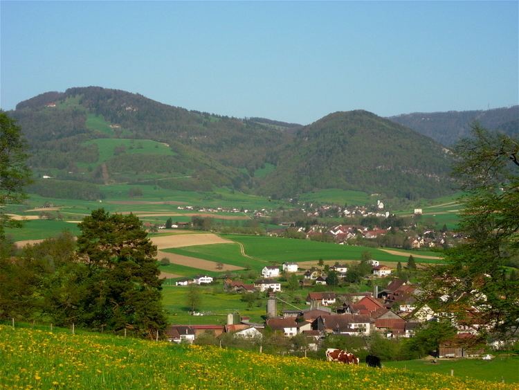
Map of 2824 Val Terbi, Switzerland
History
Montsevelier is first mentioned in 1136 as Muzivilir. The municipality was formerly known by its German name Mutzwil, however, that name is no longer used Vermes is first mentioned in 866 as Vertima. In 1308 it was mentioned as Vermunt. Vicques is first mentioned in 866 as Vicum.
Geography
The former municipalities that make up Val Terbi had an area of 38.86 km2 (15.00 sq mi).
Demographics
The total population of Val Terbi (as of December 2015) is 2,626.
Historic Population
The historical population is given in the following chart:
Crime
In 2014 the crime rate, of the over 200 crimes listed in the Swiss Criminal Code (running from murder, robbery and assault to accepting bribes and election fraud), in Val Terbi was 31.3 per thousand residents. This rate is only 62.4% of the cantonal rate and 48.5% of the average rate in the entire country. During the same period no crimes or violations of immigration, visa or work permit laws have been perpetrated.