Country India District Malappuram PIN 676106 Local time Tuesday 4:05 AM | State Kerala Time zone IST (UTC+5:30) Telephone code 0494_258**** | |
 | ||
Weather 27°C, Wind SE at 5 km/h, 86% Humidity | ||
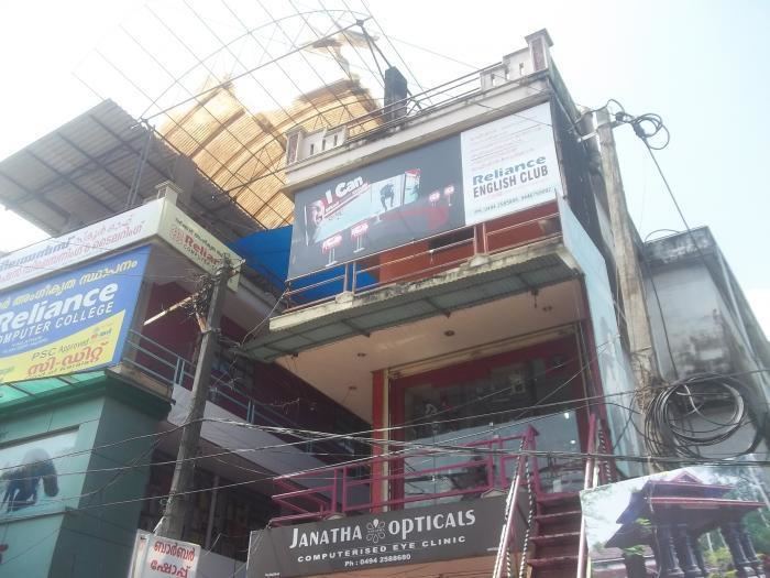
Vailathur is a town 4 km from Tirur on the way to Malappuram and it is a junction turning to Valancheri and Malappuram. It also has a road to Tanur in the west side.
Contents
Map of Vailathur, Kerala 676106
Major Institutions:
- Sunni Centre, Athanikkal
- A M L P School , Athanikkal
- Najathu swibyan madrassa, Athanikkal
- Town madrassa, Top town.
- GHS Ponmundam
- AMLP school, Ittilakkal.
Masjid & Temple:
- Chilavil Juma masjid, Chilavil
- Vailathur town masjid, Top town.
- Masjid Al Falah, down town.
- Masjid Al Awsath. Tanur road
- Mahadeva temple, Chilavil
Location
The Thanur road is an easy way to Chemmad as well, which goes through Ittilakkal [ayyaya road] (Diverting place. The straight road leads to Thanoor and the right turning road leads to Chemmad), Vellachal, Churangara, Pulparamba, Theyyala, Pandimuttam, Velliyampuram, Kodinji and Chemmad. Buses are available through this route. Vellachal, Churangara, Ittilakkal, Thalakkadathur, Kadungathukund, Kuttippala, Thanalur are some nearby small towns.
Transportation
Vaiathur village connects to other parts of India through Tirur town. National highway No.66 passes through Tirur and the northern stretch connects to Goa and Mumbai. The southern stretch connects to Cochin and Trivandrum. Highway No.966 goes to Palakkad and Coimbatore. The nearest airport is at Kozhikode. The nearest major railway station is at Tirur.
