
Telephone code 0484 Population 20,099 (2001) | Time zone IST (UTC+5:30) Vehicle registration KL-42 Government body Gram panchayat | |
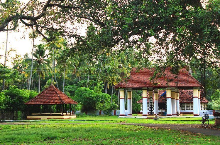 | ||
Vadakkekara is a census town, panchayat in Paravur Taluk, Ernakulam District, Kerala state in India. The NH-66 connecting Paravur and Chavakkad passes through this village. Paravur town is situated 5 km from this village. The main centre in this village is Moothakunnam. Vadakkekara is one of the early formed panchayat in the state.The Cultural and historical place in Ernakulam Dristrict, combines the parts of the early Muzaris. Maliankara is famous for being the landing place of St. Thomas.
Contents
- Map of Vadakkekara North Paravur Kerala
- History
- Economy
- Human Life
- Important Roads
- Religious
- Institutions
- Localities
- Famous Personalities
- References
Map of Vadakkekara, North Paravur, Kerala
History
Vadakkekara (meaning-northern land) a panchayat situated in the north of Paravoor river. Vadakkekara consisted of Chittattukara, Pallipuram and Munambam. Vadakkekara was Kuttanad of Parur. Vadakkekara includes numerous islands and as the population increased the panchayat divided. Both British and Travancore has ruled here. British coins circulated here. Vadakkekara was the most important province under Parur Kingdom as it included Muziris where most of the Ships landed in the coasts of this panchayat. Kuriapilly Ferry connected Kottapuram Market. Vadakkekara was an assembly constituency.
Economy
Important jobs are boat making, fishing, coconut trade, coir making, toddy tapping. Thuruthipuram is a minor market in this panchayat.
Human Life
Anglo Indians,Kudumbis, Dheevaras settled in Kunjithai, Chettikad and ?.
Important Roads
Religious
Institutions
HMDP Sabha formed in 1882 is the most old sangam. This resulted in the formation of several other institutions.
Localities
Maliankara, Kottuvallikkad, Moothakunnam, Madaplathuruth, Andipillykavu, Thuruthipuram, Muruvanthuruth, Oravanthuruth, Kattathuruth, Paliathuruth, Vavakkad, Kunjithai, Chettikkad.