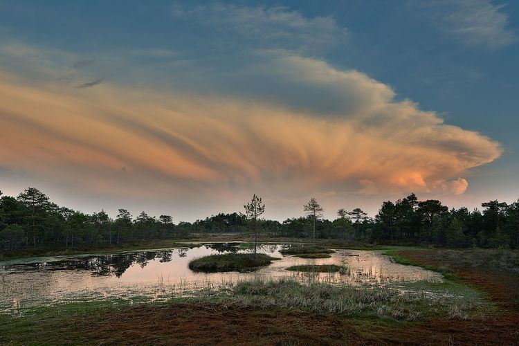
Country Estonia Area 642 km² | Website www.vandravald.ee Local time Wednesday 3:34 PM | |
 | ||
Weather 6°C, Wind SW at 23 km/h, 85% Humidity Points of interest Soomaa National Park, Carl Robert Jakobsoni Talumuuseum, Mädara linnamägi | ||
Vändra Parish is an Estonian municipality located in Pärnu County. It has a population of 2,861 (as of 1 December 2012) and covers an area of 642 km².
Contents
Map of V%C3%A4ndra Parish, P%C3%A4rnu County, Estonia
On 27 October 2009 the neighbouring Kaisma Parish was merged with Vändra Parish.
Settlements
Aluste - Allikõnnu - Kaansoo - Kadjaste - Kaisma - Kalmaru - Kergu - Kirikumõisa - Kobra - Kõnnu - Kose - Kullimaa - Kurgja - Leetva - Luuri - Lüüste - Mädara - Massu - Metsavere - Metsaküla - Mustaru - Oriküla - Pärnjõe - Rae - Rahkama - Rahnoja - Rätsepa - Reinumurru - Rõusa - Säästla - Samliku - Sikana - Sohlu - Suurejõe - Tagassaare - Ünnaste - Vaki - Venekuusiku - Veskisoo - Vihtra - Viluvere - Võidula - Võiera
References
Vändra Parish Wikipedia(Text) CC BY-SA
